Tunis night lights from space
Night Light of Tunis (Tūnis) from space (Tunisia) Src. Average luminocity for 10x10km area is 94.6997% and for 50x50km: 29.9207%.
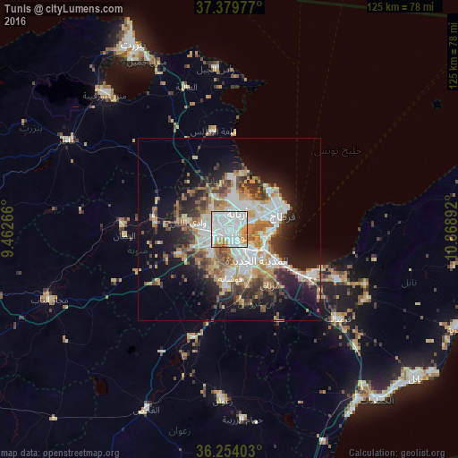
Analysis of Tunis night lights 2016
Square area 10x10 km:
 52.6%
52.6%90-99
27.44%80-89
4.71%70-79
13.15%60-69
1.46%50-59
0.65%40-49
0%30-39
0%20-29
0%10-19
0%0-9
0%Square area 50x50 km:
7.01%90-99
5.63%80-89
3.19%70-79
4.28%60-69
4.35%50-59
3.18%40-49
3.55%30-39
4.1%20-29
5.6%10-19
11.85%0-9
47.26%Clear (daylight) street map image can be seen on geolist.org.
Map coordinates:
37° 22' 47.2" North, 9° 27' 45.6" East
36° 49' 8.3" North, 10° 9' 56.8" East
36° 15' 14.5" North, 10° 52' 8.1" East
Some cities around Tunis sort by population:
• Ariana
5.2 km =3.2 mi,  28°
28°
• La Goulette
12.4 km =7.7 mi,  90°
90°
• Ben Arous
8.7 km =5.4 mi,  145°
145°
• Al Marsá
15.6 km =9.7 mi,  65°
65°
• Oued Lill
11.3 km =7 mi,  278°
278°
• Radès
11.1 km =6.9 mi,  119°
119°
• Manouba
6.3 km =3.9 mi,  260°
260°
• Carthage
15.5 km =9.6 mi, 72°
2464470 (p: 693,210)
Sources (retrieved 2019-11-25):
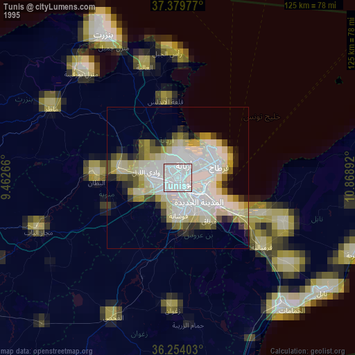
» NASA, Earths city lights 1995
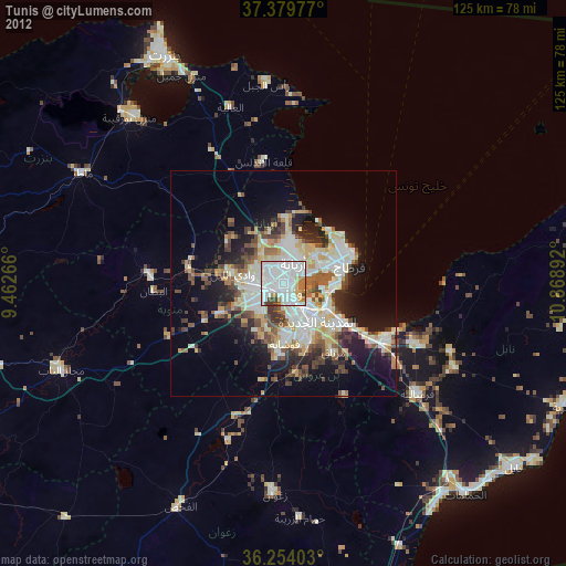
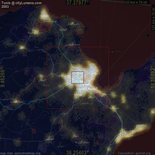
» NASA city lights 2003
» Earth at Night: Flat Maps 2012, 2016