Radès night lights from space
Night Light of Radès (Bin ‘Arūs) from space (Tunisia) Src. Average luminocity for 10x10km area is 76.9423% and for 50x50km: 31.6845%.
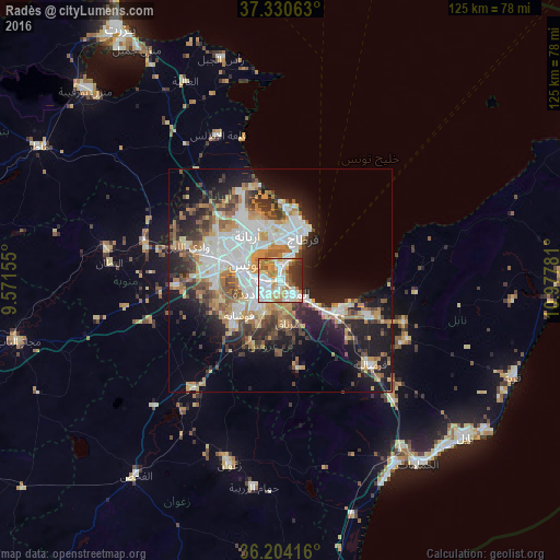
Analysis of Radès night lights 2016
Square area 10x10 km:
 23.25%
90-99
19.93%80-89
8.92%70-79
15.56%60-69
11.36%50-59
3.67%40-49
3.67%30-39
8.22%20-29
5.42%10-19
0%0-9
0%Square area 50x50 km:
7.31%90-99
5.82%80-89
3.32%70-79
4.68%60-69
4.84%50-59
3.21%40-49
3.85%30-39
4.17%20-29
6.63%10-19
13.99%0-9
42.18%Clear (daylight) street map image can be seen on geolist.org.
Map coordinates:
37° 19' 50.3" North, 9° 34' 17.6" East
36° 46' 10.1" North, 10° 16' 28.8" East
36° 12' 15" North, 10° 58' 40.1" East
Some cities around Radès sort by population:
• Tunis
11.1 km =6.9 mi,  299°
299°
• Ariana
12.4 km =7.7 mi,  324°
324°
• La Goulette
6.1 km =3.8 mi,  26°
26°
• Ben Arous
5 km =3.1 mi,  250°
250°
• Al Marsá
12.9 km =8 mi,  20°
20°
• Hammam-Lif
7.5 km =4.7 mi,  127°
127°
• La Sebala du Mornag
10.1 km =6.3 mi,  171°
171°
• Carthage
11.4 km =7.1 mi, 26°
2467815 (p: 44,298)
Sources (retrieved 2019-11-25):
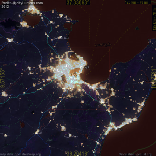
» Earth at Night: Flat Maps 2012, 2016