Djemmal night lights from space
Night Light of Djemmal (Al Munastīr) from space (Tunisia) Src. Average luminocity for 10x10km area is 33.4003% and for 50x50km: 18.4413%.
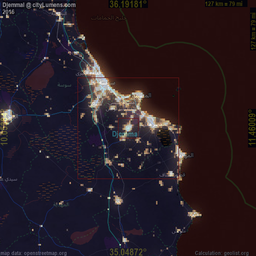
Analysis of Djemmal night lights 2016
Square area 10x10 km:
 3.32%
3.32%90-99
4.9%80-89
4.02%70-79
5.94%60-69
4.55%50-59
0.7%40-49
2.62%30-39
5.07%20-29
18.36%10-19
47.38%0-9
3.15%Square area 50x50 km:
2.4%90-99
2.39%80-89
2.62%70-79
2.16%60-69
3.1%50-59
1.66%40-49
2.53%30-39
3.42%20-29
6.92%10-19
12.85%0-9
59.94%Clear (daylight) street map image can be seen on geolist.org.
Map coordinates:
36° 11' 30.5" North, 10° 3' 13.8" East
35° 37' 20.3" North, 10° 45' 25.1" East
35° 2' 55.4" North, 11° 27' 36.3" East
Some cities around Djemmal sort by population:
• Ksar Hellal
12.4 km =7.7 mi,  76°
76°
• Ouardenine
12.2 km =7.6 mi,  322°
322°
• Banbalah
9.5 km =5.9 mi,  24°
24°
• Ksibet el Mediouni
10.5 km =6.5 mi,  47°
47°
• Menzel Kamel
8.1 km =5 mi,  271°
271°
• Beni Hassane
7.7 km =4.8 mi,  142°
142°
• Touza
6.5 km =4 mi, 77°
• Lemta
12.4 km =7.7 mi,  66°
66°
2470191 (p: 39,990)
Sources (retrieved 2019-11-25):
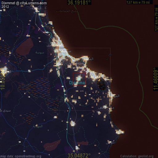
» Earth at Night: Flat Maps 2012, 2016