Metlaoui night lights from space
Night Light of Metlaoui (Gafsa) from space (Tunisia) Src. Average luminocity for 10x10km area is 14.6429% and for 50x50km: 1.2519%.
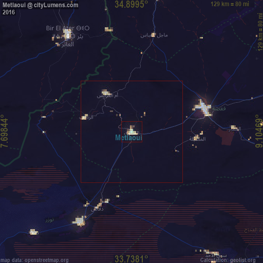

Analysis of Metlaoui night lights 2016
Square area 10x10 km:
 0.18%
0.18%90-99
0.55%80-89
7.51%70-79
2.01%60-69
2.2%50-59
0%40-49
0.73%30-39
2.75%20-29
0.18%10-19
0.92%0-9
82.97%Square area 50x50 km:
0.02%90-99
0.06%80-89
0.55%70-79
0.2%60-69
0.13%50-59
0.11%40-49
0.08%30-39
0.23%20-29
0.11%10-19
0.05%0-9
98.45%Clear (daylight) street map image can be seen on geolist.org.
Map coordinates:
34° 53' 58.2" North, 7° 41' 54.4" East
34° 19' 14.9" North, 8° 24' 5.7" East
33° 44' 17.2" North, 9° 6' 16.9" East
Some cities around Metlaoui sort by population:
• Gafsa
37 km =23 mi,  71°
71°
• Bir el Ater, DZ
56.6 km =35.2 mi,  326°
326°
• Tozeur
51 km =31.7 mi,  208°
208°
• Ar Rudayyif
23.6 km =14.7 mi,  286°
286°
• Nefta
69.3 km =43.1 mi,  224°
224°
• Kebili
86.2 km =53.6 mi,  142°
142°
• Degache
42.3 km =26.3 mi,  204°
204°
• As Sanad
80.7 km =50.1 mi,  78°
78°
2473517 (p: 41,899)
Sources (retrieved 2019-11-25):
» Earth at Night: Flat Maps 2012, 2016