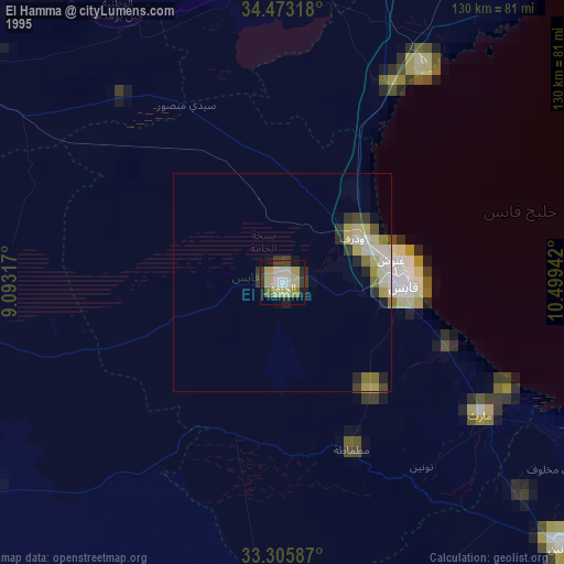
El Hamma night lights from space
Night Light of El Hamma (Qābis) from space (Tunisia) Src. Average luminocity for 10x10km area is 13.6906% and for 50x50km: 2.4584%.
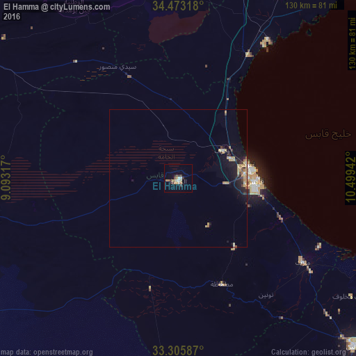
Analysis of El Hamma night lights 2016
Square area 10x10 km:
 1.22%
1.22%90-99
2.27%80-89
2.27%70-79
2.45%60-69
1.57%50-59
0.17%40-49
3.15%30-39
1.75%20-29
1.4%10-19
0.87%0-9
82.87%Square area 50x50 km:
0.09%90-99
0.26%80-89
0.56%70-79
0.51%60-69
0.32%50-59
0.06%40-49
0.34%30-39
0.36%20-29
0.56%10-19
1.95%0-9
94.99%Clear (daylight) street map image can be seen on geolist.org.
Map coordinates:
34° 28' 23.4" North, 9° 5' 35.4" East
33° 53' 29.5" North, 9° 47' 46.6" East
33° 18' 21.1" North, 10° 29' 57.9" East
Some cities around El Hamma sort by population:
• Gabès
27.9 km =17.3 mi,  92°
92°
• Douz
86 km =53.4 mi,  236°
236°
• Kebili
79.2 km =49.2 mi,  254°
254°
• Skhira
51.9 km =32.2 mi,  29°
29°
• As Sanad
80.2 km =49.8 mi,  322°
322°
• El Golaa
85.9 km =53.4 mi, 238°
• Jemna
80.2 km =49.8 mi, 244°
• Mezzouna
76.4 km =47.5 mi,  3°
3°
2473747 (p: 62,000)
Sources (retrieved 2019-11-25):
» NASA, Earths city lights 1995
» NASA city lights 2003
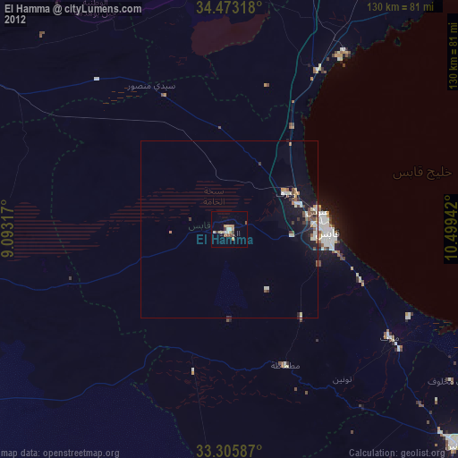
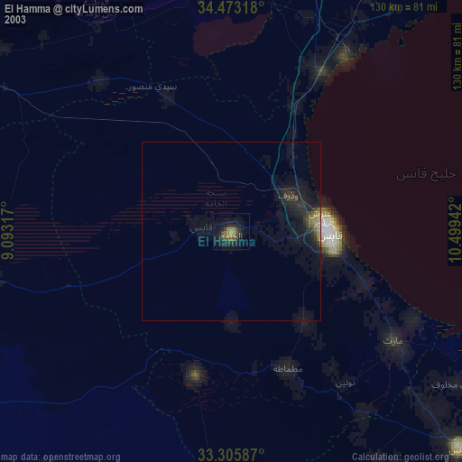
» Earth at Night: Flat Maps 2012, 2016