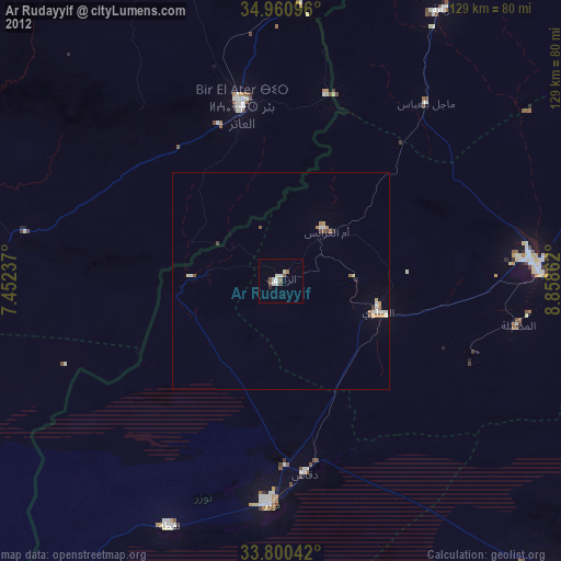
Ar Rudayyif night lights from space
Night Light of Ar Rudayyif (Gafsa) from space (Tunisia) Src. Average luminocity for 10x10km area is 5.9853% and for 50x50km: 1.2718%.
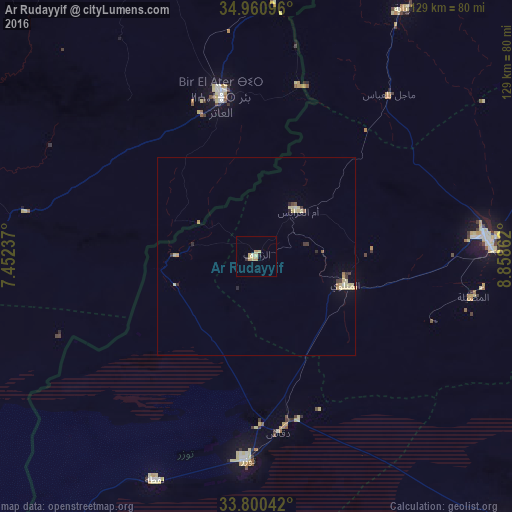
Analysis of Ar Rudayyif night lights 2016
Square area 10x10 km:
 0%
0%90-99
0.55%80-89
2.38%70-79
2.2%60-69
0.73%50-59
0%40-49
0%30-39
0%20-29
1.28%10-19
0.18%0-9
92.67%Square area 50x50 km:
0.02%90-99
0.06%80-89
0.61%70-79
0.22%60-69
0.11%50-59
0.08%40-49
0.06%30-39
0.23%20-29
0.21%10-19
0.05%0-9
98.36%Clear (daylight) street map image can be seen on geolist.org.
Map coordinates:
34° 57' 39.5" North, 7° 27' 8.5" East
34° 22' 57.7" North, 8° 9' 19.8" East
33° 48' 1.5" North, 8° 51' 31" East
Some cities around Ar Rudayyif sort by population:
• Gafsa
57.9 km =36 mi,  85°
85°
• Cheria, DZ
105.6 km =65.6 mi,  339°
339°
• Bir el Ater, DZ
41.2 km =25.6 mi,  347°
347°
• Metlaoui
23.6 km =14.7 mi,  106°
106°
• Tozeur
51.5 km =32 mi,  182°
182°
• Nefta
62.2 km =38.6 mi,  204°
204°
• Degache
45.5 km =28.3 mi,  173°
173°
• As Sanad
102.1 km =63.4 mi,  84°
84°
2473257 (p: 30,048)
Sources (retrieved 2019-11-25):
» Earth at Night: Flat Maps 2012, 2016