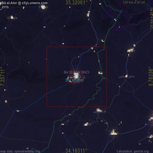
Bir el Ater night lights from space
Night Light of Bir el Ater (Tébessa) from space (Algeria) Src. Average luminocity for 10x10km area is 22.6905% and for 50x50km: 1.3818%.


Analysis of Bir el Ater night lights 2016
Square area 10x10 km:
 3.11%
3.11%90-99
5.68%80-89
4.4%70-79
1.1%60-69
1.28%50-59
1.47%40-49
2.01%30-39
2.56%20-29
1.65%10-19
21.79%0-9
54.95%Square area 50x50 km:
0.12%90-99
0.22%80-89
0.29%70-79
0.16%60-69
0.11%50-59
0.19%40-49
0.16%30-39
0.11%20-29
0.12%10-19
0.88%0-9
97.65%Clear (daylight) street map image can be seen on geolist.org.
Map coordinates:
35° 19' 14.2" North, 7° 21' 25.6" East
34° 44' 41.6" North, 8° 3' 36.9" East
34° 9' 54.4" North, 8° 45' 48.1" East
Some cities around Bir el Ater sort by population:
• Tébessa
73.5 km =45.7 mi,  4°
4°
• Kasserine, TN
84.9 km =52.8 mi,  56°
56°
• Gafsa, TN
75.2 km =46.7 mi,  118°
118°
• Cheria
65.1 km =40.5 mi,  334°
334°
• Metlaoui, TN
56.6 km =35.2 mi,  146°
146°
• Ar Rudayyif, TN
41.2 km =25.6 mi,  167°
167°
• Hammamet
78.9 km =49 mi,  352°
352°
• Degache, TN
86.6 km =53.8 mi, 170°
2503878 (p: 68,703)
Sources (retrieved 2019-11-25):
» NASA, Earths city lights 1995
» NASA city lights 2003
» Earth at Night: Flat Maps 2012, 2016