Nefta night lights from space
Night Light of Nefta (Tawzar) from space (Tunisia) Src. Average luminocity for 10x10km area is 9.6941% and for 50x50km: 1.242%.
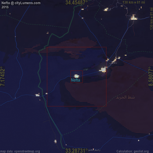
Analysis of Nefta night lights 2016
Square area 10x10 km:
 1.57%
1.57%90-99
1.22%80-89
3.15%70-79
1.75%60-69
0.7%50-59
0%40-49
0%30-39
0.7%20-29
0%10-19
0%0-9
90.91%Square area 50x50 km:
0.2%90-99
0.14%80-89
0.46%70-79
0.13%60-69
0.04%50-59
0.07%40-49
0.02%30-39
0.06%20-29
0.03%10-19
0.68%0-9
98.17%Clear (daylight) street map image can be seen on geolist.org.
Map coordinates:
34° 27' 17.5" North, 7° 10' 28.3" East
33° 52' 23.1" North, 7° 52' 39.5" East
33° 17' 14.3" North, 8° 34' 50.8" East
Some cities around Nefta sort by population:
• Gafsa
103.6 km =64.4 mi,  53°
53°
• Bir el Ater, DZ
98.4 km =61.1 mi,  9°
9°
• Metlaoui
69.3 km =43.1 mi,  44°
44°
• Debila, DZ
94.5 km =58.7 mi,  245°
245°
• Tozeur
24.2 km =15 mi,  77°
77°
• Ar Rudayyif
62.2 km =38.6 mi,  24°
24°
• Kebili
102.6 km =63.8 mi,  100°
100°
• Degache
32.6 km =20.3 mi,  69°
69°
2468561 (p: 21,720)
Sources (retrieved 2019-11-25):
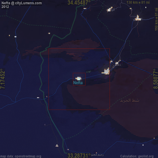
» Earth at Night: Flat Maps 2012, 2016