Cheria night lights from space
Night Light of Cheria (Tébessa) from space (Algeria) Src. Average luminocity for 10x10km area is 12.7395% and for 50x50km: 1.5268%.
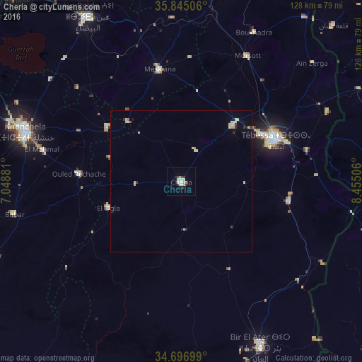
Analysis of Cheria night lights 2016
Square area 10x10 km:
 2.27%
2.27%90-99
2.1%80-89
2.45%70-79
1.57%60-69
0.7%50-59
0%40-49
1.4%30-39
1.05%20-29
2.8%10-19
0.7%0-9
84.97%Square area 50x50 km:
0.22%90-99
0.2%80-89
0.39%70-79
0.19%60-69
0.06%50-59
0.03%40-49
0.08%30-39
0.2%20-29
0.21%10-19
0.11%0-9
98.31%Clear (daylight) street map image can be seen on geolist.org.
Map coordinates:
35° 50' 42.2" North, 7° 2' 55.7" East
35° 16' 23" North, 7° 45' 7" East
34° 41' 49.2" North, 8° 27' 18.2" East
Some cities around Cheria sort by population:
• Tébessa
36.8 km =22.9 mi,  66°
66°
• Khenchela
58.1 km =36.1 mi,  288°
288°
• Aïn Beïda
66.6 km =41.4 mi,  330°
330°
• Oum el Bouaghi
88.4 km =54.9 mi,  319°
319°
• Bir el Ater
65.1 km =40.5 mi,  154°
154°
• El Aouinet
67.1 km =41.7 mi,  10°
10°
• Meskiana
40.5 km =25.2 mi,  348°
348°
• Hammamet
26.6 km =16.5 mi,  42°
42°
2501404 (p: 72,095)
Sources (retrieved 2019-11-25):
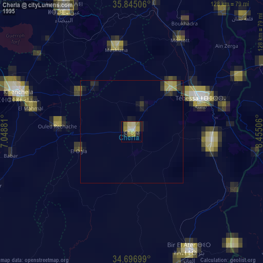
» NASA, Earths city lights 1995
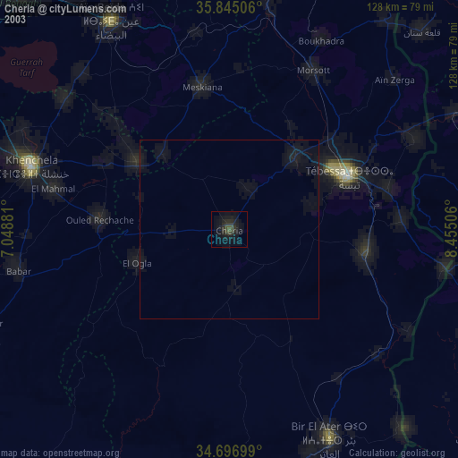
» NASA city lights 2003
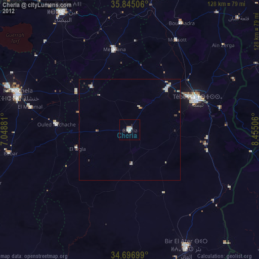
» Earth at Night: Flat Maps 2012, 2016