Ghormach night lights from space
Night Light of Ghormach (Badghis) from space (Afghanistan) Src. Average luminocity for 10x10km area is 0% and for 50x50km: 0%.
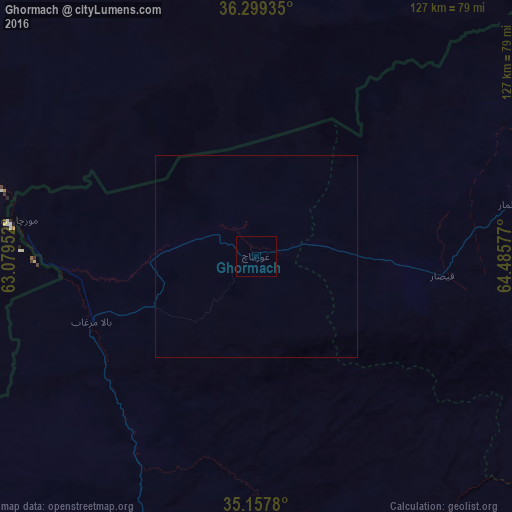
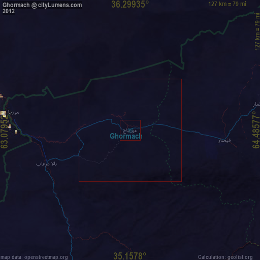
Analysis of Ghormach night lights 2016
Square area 10x10 km:
 0%
0%90-99
0%80-89
0%70-79
0%60-69
0%50-59
0%40-49
0%30-39
0%20-29
0%10-19
0%0-9
100%Square area 50x50 km:
0%90-99
0%80-89
0%70-79
0%60-69
0%50-59
0%40-49
0%30-39
0%20-29
0%10-19
0%0-9
100%Clear (daylight) street map image can be seen on geolist.org.
Map coordinates:
36° 17' 57.7" North, 63° 4' 46.3" East
35° 43' 50.2" North, 63° 46' 57.5" East
35° 9' 28.1" North, 64° 29' 8.8" East
Some cities around Ghormach sort by population:
• Maymana
92.7 km =57.6 mi,  76°
76°
• Andkhōy
181.4 km =112.7 mi,  41°
41°
• Karukh
176.5 km =109.7 mi,  218°
218°
• Shahrak
186.7 km =116 mi,  165°
165°
• Darzāb
146.4 km =91 mi, 79°
• Qala i Naw
101.7 km =63.2 mi, 215°
• Qal‘ah-ye Shahr
162.6 km =101 mi,  97°
97°
• Serhetabat, TM
139.5 km =86.7 mi,  248°
248°
1141089 (p: 30,000)
Sources (retrieved 2019-11-25):
» Earth at Night: Flat Maps 2012, 2016