Rasht night lights from space
Night Light of Rasht (Republican Subordination) from space (Tajikistan) Src. Average luminocity for 10x10km area is 0.5812% and for 50x50km: 0.0496%.
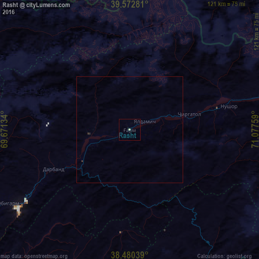
Analysis of Rasht night lights 2016
Square area 10x10 km:
 0%
0%90-99
0%80-89
0.65%70-79
0%60-69
0%50-59
0%40-49
0%30-39
0%20-29
0%10-19
0%0-9
99.35%Square area 50x50 km:
0%90-99
0%80-89
0.03%70-79
0%60-69
0%50-59
0%40-49
0.03%30-39
0.03%20-29
0.03%10-19
0%0-9
99.89%Clear (daylight) street map image can be seen on geolist.org.
Map coordinates:
39° 34' 22.1" North, 69° 40' 16.8" East
39° 1' 43.4" North, 70° 22' 28.1" East
38° 28' 49.4" North, 71° 4' 39.3" East
Some cities around Rasht sort by population:
• Norak
115.7 km =71.9 mi,  232°
232°
• Isfana, KG
115.8 km =72 mi,  321°
321°
• Suluktu, KG
122.4 km =76.1 mi,  325°
325°
• Mŭ’minobod
106.7 km =66.3 mi,  196°
196°
• Batken, KG
121.1 km =75.2 mi,  18°
18°
• Obigarm
67.2 km =41.8 mi,  238°
238°
• Roghun
51.5 km =32 mi, 237°
• Novobod
19.4 km =12.1 mi,  264°
264°
1221740 (p: 10,771)
Sources (retrieved 2019-11-25):
» Earth at Night: Flat Maps 2012, 2016