Obigarm night lights from space
Night Light of Obigarm (Republican Subordination) from space (Tajikistan) Src. Average luminocity for 10x10km area is 5.0034% and for 50x50km: 0.7072%.
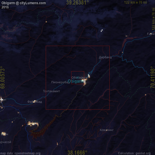
Analysis of Obigarm night lights 2016
Square area 10x10 km:
 0.51%
0.51%90-99
1.19%80-89
0.68%70-79
0.68%60-69
0.68%50-59
0.34%40-49
0%30-39
0.17%20-29
0.51%10-19
1.19%0-9
94.05%Square area 50x50 km:
0.04%90-99
0.23%80-89
0.05%70-79
0.07%60-69
0.07%50-59
0.05%40-49
0.09%30-39
0.05%20-29
0.07%10-19
0.2%0-9
99.07%Clear (daylight) street map image can be seen on geolist.org.
Map coordinates:
39° 15' 49.7" North, 69° 0' 20.6" East
38° 43' 2.3" North, 69° 42' 31.9" East
38° 9' 59.8" North, 70° 24' 43.1" East
Some cities around Obigarm sort by population:
• Vahdat
63 km =39.1 mi,  253°
253°
• Norak
49.6 km =30.8 mi,  222°
222°
• Yovon
73.6 km =45.7 mi,  232°
232°
• Mŭ’minobod
73.5 km =45.7 mi,  157°
157°
• Rasht
67.2 km =41.8 mi,  58°
58°
• Sovet
75.3 km =46.8 mi,  188°
188°
• Roghun
15.8 km =9.8 mi, 62°
• Novobod
50.3 km =31.3 mi,  49°
49°
1220888 (p: 10,035)
Sources (retrieved 2019-11-25):
» Earth at Night: Flat Maps 2012, 2016