Mŭ’minobod night lights from space
Night Light of Mŭ’minobod (Khatlon) from space (Tajikistan) Src. Average luminocity for 10x10km area is 0.4627% and for 50x50km: 0.9113%.
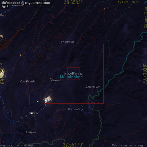
Analysis of Mŭ’minobod night lights 2016
Square area 10x10 km:
 0%
0%90-99
0%80-89
0%70-79
0%60-69
0%50-59
0%40-49
0.49%30-39
0.16%20-29
0.65%10-19
0%0-9
98.7%Square area 50x50 km:
0.05%90-99
0.28%80-89
0.07%70-79
0.13%60-69
0.08%50-59
0.09%40-49
0.15%30-39
0.17%20-29
0.08%10-19
0.72%0-9
98.17%Clear (daylight) street map image can be seen on geolist.org.
Map coordinates:
38° 39' 29.9" North, 69° 19' 44.4" East
38° 6' 25.7" North, 70° 1' 55.7" East
37° 33' 6.4" North, 70° 44' 6.9" East
Some cities around Mŭ’minobod sort by population:
• Kŭlob
30.5 km =19 mi,  225°
225°
• Danghara
60.6 km =37.7 mi,  268°
268°
• Vose’
47.9 km =29.8 mi, 225°
• Chubek
61.8 km =38.4 mi,  207°
207°
• Norak
69.4 km =43.1 mi,  296°
296°
• Obigarm
73.5 km =45.7 mi,  337°
337°
• Sovet
39.4 km =24.5 mi,  260°
260°
• Roghun
76.4 km =47.5 mi,  349°
349°
1221091 (p: 11,955)
Sources (retrieved 2019-11-25):
» Earth at Night: Flat Maps 2012, 2016