Novobod night lights from space
Night Light of Novobod (Republican Subordination) from space (Tajikistan) Src. Average luminocity for 10x10km area is 0.3734% and for 50x50km: 0.1029%.
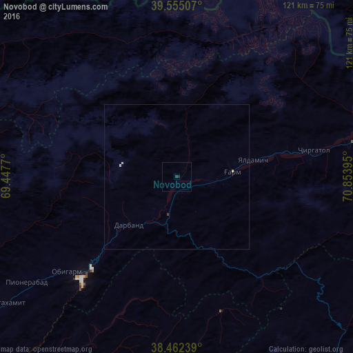
Analysis of Novobod night lights 2016
Square area 10x10 km:
 0%
0%90-99
0%80-89
0%70-79
0%60-69
0%50-59
0%40-49
0%30-39
0.65%20-29
0.65%10-19
0%0-9
98.7%Square area 50x50 km:
0%90-99
0.05%80-89
0.03%70-79
0%60-69
0%50-59
0%40-49
0.03%30-39
0.03%20-29
0.03%10-19
0%0-9
99.84%Clear (daylight) street map image can be seen on geolist.org.
Map coordinates:
39° 33' 18.3" North, 69° 26' 51.7" East
39° 0' 39" North, 70° 9' 3" East
38° 27' 44.6" North, 70° 51' 14.2" East
Some cities around Novobod sort by population:
• Vahdat
110.8 km =68.8 mi,  242°
242°
• Norak
99.7 km =62 mi,  226°
226°
• Isfana, KG
106.5 km =66.2 mi,  329°
329°
• Suluktu, KG
114.4 km =71.1 mi, 334°
• Mŭ’minobod
101 km =62.8 mi,  185°
185°
• Rasht
19.4 km =12.1 mi,  84°
84°
• Obigarm
50.3 km =31.3 mi, 229°
• Roghun
35.1 km =21.8 mi,  223°
223°
1220936 (p: 5,352)
Sources (retrieved 2019-11-25):
» Earth at Night: Flat Maps 2012, 2016