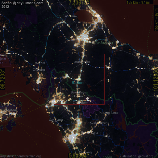
Sadao night lights from space
Night Light of Sadao (Songkhla) from space (Thailand) Src. Average luminocity for 10x10km area is 18.2381% and for 50x50km: 9.8062%.
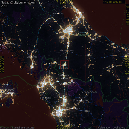
Analysis of Sadao night lights 2016
Square area 10x10 km:
 1.73%
1.73%90-99
2.6%80-89
1.3%70-79
5.84%60-69
2.38%50-59
0%40-49
2.38%30-39
1.95%20-29
1.73%10-19
5.84%0-9
74.24%Square area 50x50 km:
1.3%90-99
1.58%80-89
0.65%70-79
1.43%60-69
1.6%50-59
1.45%40-49
1.56%30-39
1.02%20-29
1.32%10-19
6.48%0-9
81.61%Clear (daylight) street map image can be seen on geolist.org.
Map coordinates:
7° 20' 12.2" North, 99° 43' 13.1" East
6° 38' 19.8" North, 100° 25' 24.3" East
5° 56' 23.8" North, 101° 7' 35.6" East
Some cities around Sadao sort by population:
• Alor Setar, MY
58 km =36 mi,  186°
186°
• Hat Yai
41.5 km =25.8 mi,  8°
8°
• Kangar, MY
33.1 km =20.6 mi,  228°
228°
• Jitra, MY
41.2 km =25.6 mi,  180°
180°
• Satun
39.4 km =24.5 mi,  267°
267°
• Kuala Kedah, MY
61.4 km =38.2 mi, 192°
• Kuala Perlis, MY
41.6 km =25.8 mi, 230°
• Na Mom
38.5 km =23.9 mi,  22°
22°
1606939 (p: 46,236)
Sources (retrieved 2019-11-25):
» Earth at Night: Flat Maps 2012, 2016