Alor Setar night lights from space
Night Light of Alor Setar (Kedah) from space (Malaysia) Src. Average luminocity for 10x10km area is 80.1715% and for 50x50km: 14.8973%.
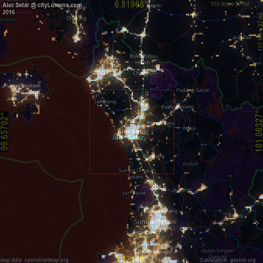
Analysis of Alor Setar night lights 2016
Square area 10x10 km:
 32.02%
90-99
30.17%80-89
2.27%70-79
3.72%60-69
5.17%50-59
7.02%40-49
4.34%30-39
11.57%20-29
3.72%10-19
0%0-9
0%Square area 50x50 km:
2.66%90-99
2.58%80-89
0.86%70-79
1.08%60-69
1.35%50-59
2.13%40-49
2.7%30-39
2.74%20-29
5.61%10-19
10.18%0-9
68.12%Clear (daylight) street map image can be seen on geolist.org.
Map coordinates:
6° 49' 10.8" North, 99° 39' 25.3" East
6° 7' 15.7" North, 100° 21' 36.5" East
5° 25' 17.3" North, 101° 3' 47.8" East
Some cities around Alor Setar sort by population:
• Sungai Petani
54.6 km =33.9 mi,  165°
165°
• Kangar
39.8 km =24.7 mi,  333°
333°
• Jitra
17.7 km =11 mi,  22°
22°
• Bedong
46.8 km =29.1 mi,  159°
159°
• Sadao, TH
58 km =36 mi,  6°
6°
• Kuala Kedah
7 km =4.3 mi,  250°
250°
• Gurun
36 km =22.4 mi, 159°
• Kuala Perlis
39.9 km =24.8 mi,  321°
321°
1736309 (p: 217,368)
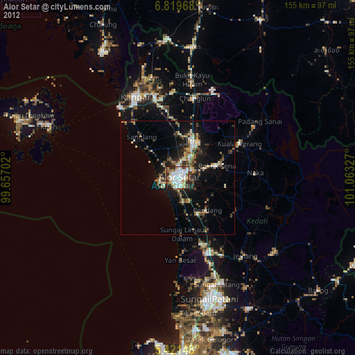
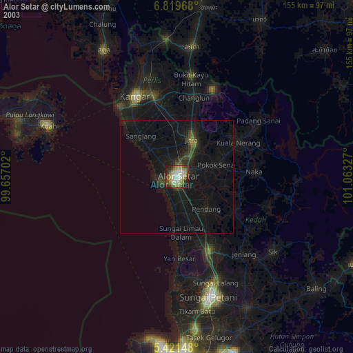
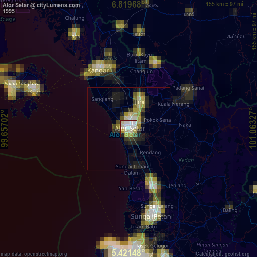
Sources (retrieved 2019-11-25):
» NASA, Earths city lights 1995
» NASA city lights 2003
» Earth at Night: Flat Maps 2012, 2016