Kangar night lights from space
Night Light of Kangar (Perlis) from space (Malaysia) Src. Average luminocity for 10x10km area is 62.2987% and for 50x50km: 14.5738%.
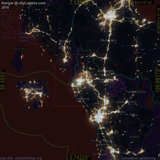

Analysis of Kangar night lights 2016
Square area 10x10 km:
 16.45%
90-99
14.5%80-89
4.55%70-79
5.63%60-69
7.79%50-59
10.61%40-49
9.96%30-39
16.45%20-29
8.66%10-19
5.41%0-9
0%Square area 50x50 km:
2.06%90-99
2.26%80-89
0.93%70-79
1.51%60-69
1.78%50-59
2.47%40-49
2.55%30-39
2.44%20-29
4.29%10-19
10.73%0-9
68.99%Clear (daylight) street map image can be seen on geolist.org.
Map coordinates:
7° 8' 22.5" North, 99° 29' 43.8" East
6° 26' 29" North, 100° 11' 55" East
5° 44' 32.1" North, 100° 54' 6.3" East
Some cities around Kangar sort by population:
• Alor Setar
39.8 km =24.7 mi,  153°
153°
• Jitra
31.3 km =19.4 mi,  128°
128°
• Sadao, TH
33.1 km =20.6 mi,  48°
48°
• Satun, TH
24.9 km =15.5 mi,  324°
324°
• Kuah
41.3 km =25.7 mi,  251°
251°
• Kuala Kedah
39.6 km =24.6 mi,  163°
163°
• Kuala Perlis
8.6 km =5.3 mi,  237°
237°
• Ayer Hangat
41.7 km =25.9 mi,  266°
266°
1736278 (p: 63,869)
Sources (retrieved 2019-11-25):
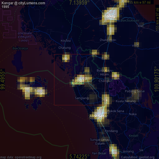
» NASA, Earths city lights 1995
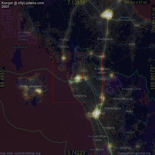
» NASA city lights 2003
» Earth at Night: Flat Maps 2012, 2016