Satun night lights from space
Night Light of Satun from space (Thailand) Src. Average luminocity for 10x10km area is 25.7662% and for 50x50km: 9.0345%.
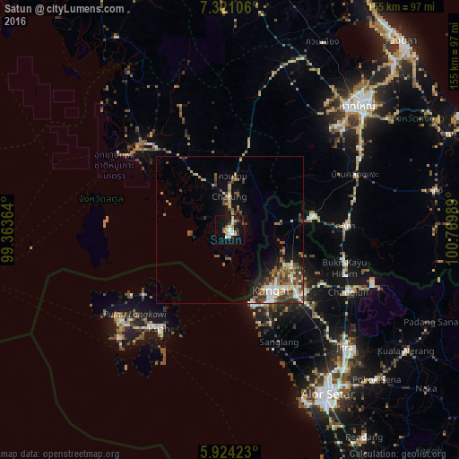
Analysis of Satun night lights 2016
Square area 10x10 km:
 4.11%
4.11%90-99
4.55%80-89
1.95%70-79
2.81%60-69
3.25%50-59
4.33%40-49
1.3%30-39
3.03%20-29
6.06%10-19
28.35%0-9
40.26%Square area 50x50 km:
1.19%90-99
1.38%80-89
0.65%70-79
1.09%60-69
1.43%50-59
1.93%40-49
1.79%30-39
1.59%20-29
1.48%10-19
4.59%0-9
82.89%Clear (daylight) street map image can be seen on geolist.org.
Map coordinates:
7° 19' 15.8" North, 99° 21' 49.1" East
6° 37' 23.3" North, 100° 4' 0.3" East
5° 55' 27.2" North, 100° 46' 11.6" East
Some cities around Satun sort by population:
• Kangar, MY
24.9 km =15.5 mi,  144°
144°
• Jitra, MY
55.6 km =34.5 mi, 135°
• Sadao
39.4 km =24.5 mi,  87°
87°
• Kuah, MY
41.2 km =25.6 mi,  216°
216°
• Pantai Cenang, MY
52.4 km =32.6 mi,  225°
225°
• Kuala Perlis, MY
25.9 km =16.1 mi,  163°
163°
• Padang Mat Sirat, MY
47.4 km =29.5 mi, 230°
• Ayer Hangat, MY
35.2 km =21.9 mi, 230°
1606376 (p: 34,544)
Sources (retrieved 2019-11-25):
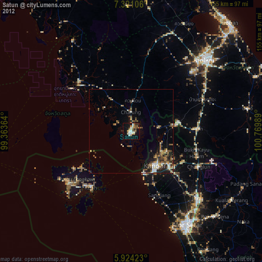
» Earth at Night: Flat Maps 2012, 2016