Hat Yai night lights from space
Night Light of Hat Yai (Songkhla) from space (Thailand) Src. Average luminocity for 10x10km area is 81.145% and for 50x50km: 17.7184%.
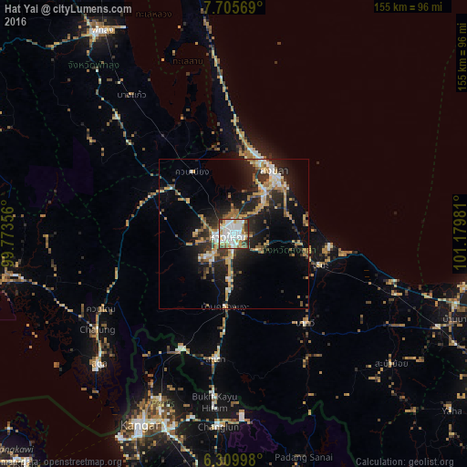
Analysis of Hat Yai night lights 2016
Square area 10x10 km:
 34.63%
90-99
21.65%80-89
5.41%70-79
9.96%60-69
8.23%50-59
6.49%40-49
4.11%30-39
6.06%20-29
3.46%10-19
0%0-9
0%Square area 50x50 km:
2.52%90-99
2.21%80-89
1.77%70-79
3.41%60-69
2.46%50-59
2.23%40-49
2.04%30-39
2.88%20-29
6.23%10-19
11.2%0-9
63.05%Clear (daylight) street map image can be seen on geolist.org.
Map coordinates:
7° 42' 20.5" North, 99° 46' 24.8" East
7° 0' 30.1" North, 100° 28' 36" East
6° 18' 35.9" North, 101° 10' 47.3" East
Some cities around Hat Yai sort by population:
• Ban Mai
23 km =14.3 mi,  19°
19°
• Songkhla
24.9 km =15.5 mi,  31°
31°
• Kangar, MY
70.1 km =43.6 mi,  205°
205°
• Sadao
41.5 km =25.8 mi,  188°
188°
• Satun
62.3 km =38.7 mi,  226°
226°
• Kuala Perlis, MY
77.5 km =48.2 mi, 209°
• Nong Chik
79.6 km =49.5 mi,  103°
103°
• Na Mom
10.4 km =6.5 mi,  122°
122°
1610780 (p: 191,696)
Sources (retrieved 2019-11-25):
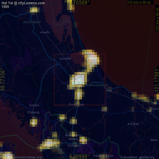
» NASA, Earths city lights 1995
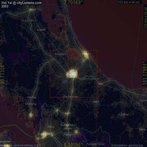
» NASA city lights 2003
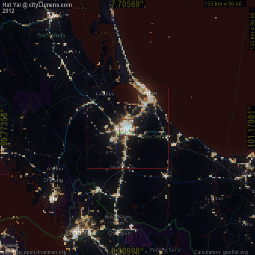
» Earth at Night: Flat Maps 2012, 2016