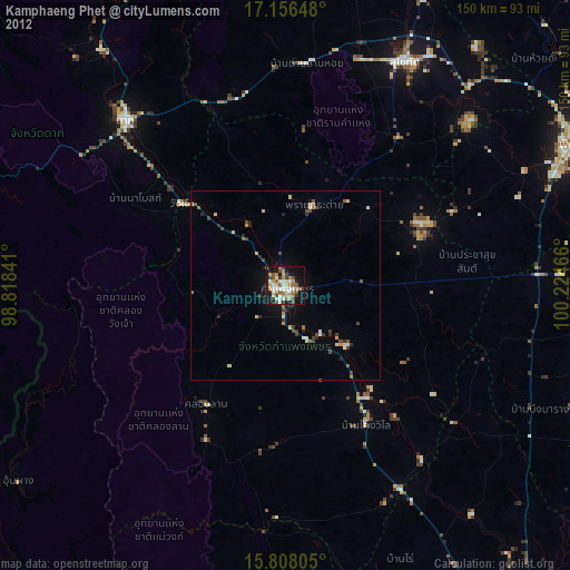
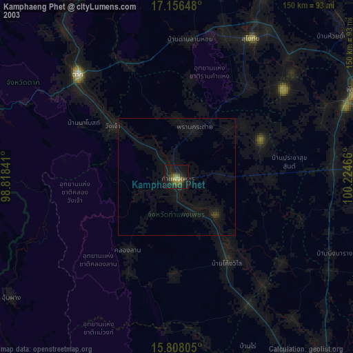
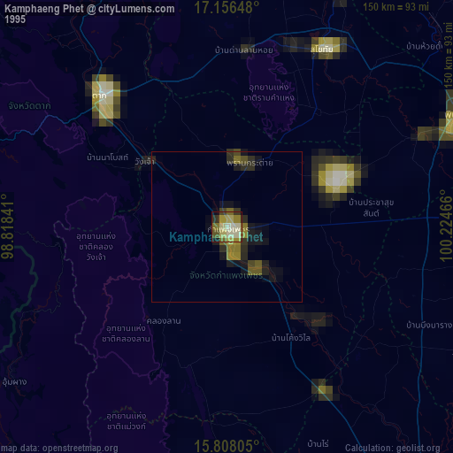
Kamphaeng Phet night lights from space
Night Light of Kamphaeng Phet from space (Thailand) Src. Average luminocity for 10x10km area is 63.1095% and for 50x50km: 9.0681%.
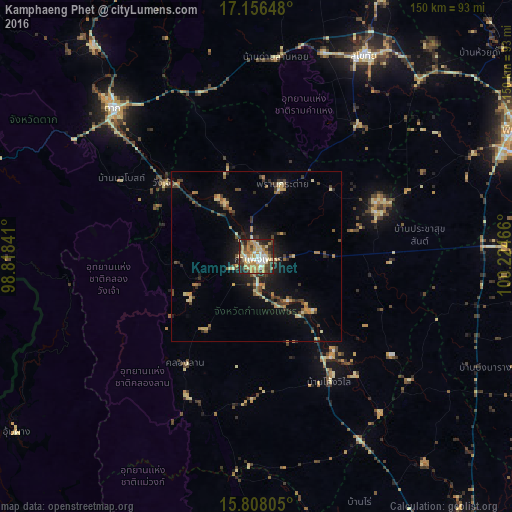
Analysis of Kamphaeng Phet night lights 2016
Square area 10x10 km:
 7.02%
7.02%90-99
9.09%80-89
16.94%70-79
15.91%60-69
11.16%50-59
4.34%40-49
12.19%30-39
7.85%20-29
12.6%10-19
2.89%0-9
0%Square area 50x50 km:
0.33%90-99
0.55%80-89
2%70-79
1.36%60-69
1.46%50-59
0.77%40-49
2.08%30-39
1.68%20-29
2.23%10-19
5.67%0-9
81.88%Clear (daylight) street map image can be seen on geolist.org.
Map coordinates:
17° 9' 23.3" North, 98° 49' 6.3" East
16° 29' 0.4" North, 99° 31' 17.5" East
15° 48' 29" North, 100° 13' 28.8" East
Some cities around Kamphaeng Phet sort by population:
• Ban Na
63.5 km =39.5 mi,  20°
20°
• Sukhothai
66.6 km =41.4 mi,  28°
28°
• Tak
59.9 km =37.2 mi,  315°
315°
• Khanu Woralaksaburi
59.2 km =36.8 mi,  142°
142°
• Bang Rakam
70.5 km =43.8 mi,  64°
64°
• Khiri Mat
48.9 km =30.4 mi,  37°
37°
• Lan Krabue
37.2 km =23.1 mi,  69°
69°
• Ban Dan Lan Hoi
58.5 km =36.4 mi,  5°
5°
1153090 (p: 58,787)
Sources (retrieved 2019-11-25):
» NASA, Earths city lights 1995
» NASA city lights 2003
» Earth at Night: Flat Maps 2012, 2016