Ban Na night lights from space
Night Light of Ban Na (Sukhothai) from space (Thailand) Src. Average luminocity for 10x10km area is 22.2229% and for 50x50km: 7.398%.
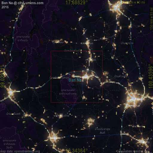
Analysis of Ban Na night lights 2016
Square area 10x10 km:
 0.65%
0.65%90-99
1.52%80-89
7.14%70-79
1.52%60-69
1.73%50-59
0%40-49
6.06%30-39
3.03%20-29
5.19%10-19
34.85%0-9
38.31%Square area 50x50 km:
0.28%90-99
0.55%80-89
1.57%70-79
1.05%60-69
0.59%50-59
0.66%40-49
1.83%30-39
1.74%20-29
2.14%10-19
5.69%0-9
83.91%Clear (daylight) street map image can be seen on geolist.org.
Map coordinates:
17° 41' 17.8" North, 99° 1' 47" East
17° 1' 1.8" North, 99° 43' 58.2" East
16° 20' 37.1" North, 100° 26' 9.5" East
Some cities around Ban Na sort by population:
• Phitsanulok
59.9 km =37.2 mi,  110°
110°
• Sukhothai
9.6 km =6 mi,  96°
96°
• Si Satchanalai
55.6 km =34.5 mi,  2°
2°
• Sawankhalok
34.8 km =21.6 mi,  17°
17°
• Bang Rakam
50 km =31.1 mi,  125°
125°
• Khiri Mat
21.7 km =13.5 mi,  160°
160°
• Lan Krabue
48 km =29.8 mi,  165°
165°
• Ban Dan Lan Hoi
16.8 km =10.4 mi,  266°
266°
1156257 (p: 40,174)
Sources (retrieved 2019-11-25):
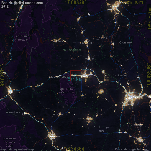
» Earth at Night: Flat Maps 2012, 2016