Sukhothai night lights from space
Night Light of Sukhothai from space (Thailand) Src. Average luminocity for 10x10km area is 49.6299% and for 50x50km: 8.4415%.
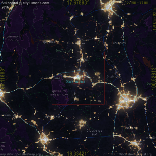
Analysis of Sukhothai night lights 2016
Square area 10x10 km:
 6.93%
6.93%90-99
8.44%80-89
10.61%70-79
8.23%60-69
1.73%50-59
2.16%40-49
13.85%30-39
9.96%20-29
21.86%10-19
16.23%0-9
0%Square area 50x50 km:
0.28%90-99
0.63%80-89
1.74%70-79
1.13%60-69
0.67%50-59
0.83%40-49
2.11%30-39
1.93%20-29
2.63%10-19
6.67%0-9
81.38%Clear (daylight) street map image can be seen on geolist.org.
Map coordinates:
17° 40' 44.1" North, 99° 7' 11.6" East
17° 0' 28" North, 99° 49' 22.8" East
16° 20' 3.2" North, 100° 31' 34.1" East
Some cities around Sukhothai sort by population:
• Phitsanulok
50.6 km =31.4 mi,  113°
113°
• Ban Na
9.6 km =6 mi,  276°
276°
• Si Satchanalai
57 km =35.4 mi,  353°
353°
• Sawankhalok
34.3 km =21.3 mi,  1°
1°
• Bang Rakam
41.8 km =26 mi,  131°
131°
• Khiri Mat
19.6 km =12.2 mi,  187°
187°
• Lan Krabue
45.4 km =28.2 mi,  176°
176°
• Ban Dan Lan Hoi
26.4 km =16.4 mi,  269°
269°
1150533 (p: 37,000)
Sources (retrieved 2019-11-25):
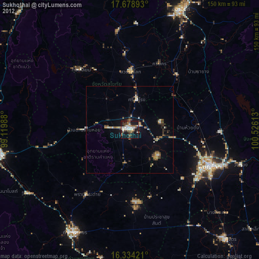
» Earth at Night: Flat Maps 2012, 2016