Khanu Woralaksaburi night lights from space
Night Light of Khanu Woralaksaburi (Kamphaeng Phet) from space (Thailand) Src. Average luminocity for 10x10km area is 6.1384% and for 50x50km: 3.8003%.
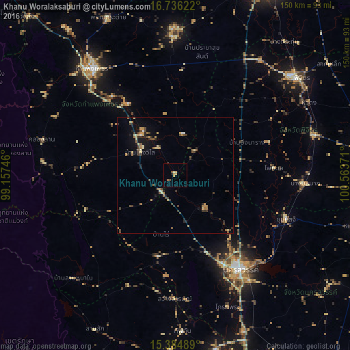
Analysis of Khanu Woralaksaburi night lights 2016
Square area 10x10 km:
 0%
0%90-99
0%80-89
0.83%70-79
3.31%60-69
0.83%50-59
0.21%40-49
1.45%30-39
0.41%20-29
0.83%10-19
0.41%0-9
91.74%Square area 50x50 km:
0.1%90-99
0.12%80-89
0.71%70-79
0.57%60-69
0.75%50-59
0.4%40-49
0.81%30-39
0.88%20-29
0.93%10-19
1.65%0-9
93.07%Clear (daylight) street map image can be seen on geolist.org.
Map coordinates:
16° 44' 10.4" North, 99° 9' 26.9" East
16° 3' 42.1" North, 99° 51' 38.1" East
15° 23' 5.6" North, 100° 33' 49.4" East
Some cities around Khanu Woralaksaburi sort by population:
• Nakhon Sawan
49.5 km =30.8 mi,  143°
143°
• Kamphaeng Phet
59.2 km =36.8 mi,  322°
322°
• Phichit
67.1 km =41.7 mi,  50°
50°
• Taphan Hin
62.3 km =38.7 mi,  73°
73°
• Lat Yao
35.4 km =22 mi,  192°
192°
• Thap Than
66.9 km =41.6 mi,  177°
177°
• Bang Mun Nak
55.5 km =34.5 mi,  93°
93°
• Lan Krabue
59.9 km =37.2 mi,  358°
358°
1152953 (p: 21,889)
Sources (retrieved 2019-11-25):
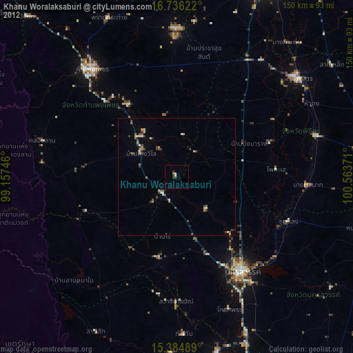
» Earth at Night: Flat Maps 2012, 2016