Tak night lights from space
Night Light of Tak from space (Thailand) Src. Average luminocity for 10x10km area is 54.7814% and for 50x50km: 6.0503%.
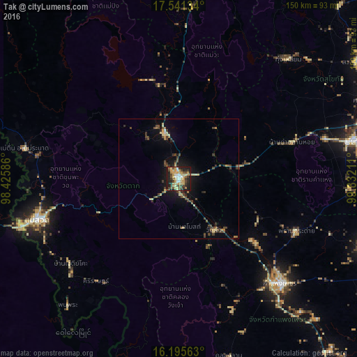
Analysis of Tak night lights 2016
Square area 10x10 km:
 7.14%
7.14%90-99
4.98%80-89
16.23%70-79
13.2%60-69
3.46%50-59
5.19%40-49
12.12%30-39
8.23%20-29
15.58%10-19
13.85%0-9
0%Square area 50x50 km:
0.29%90-99
0.28%80-89
1.34%70-79
0.88%60-69
0.58%50-59
0.56%40-49
1.92%30-39
1.18%20-29
1.38%10-19
4.01%0-9
87.58%Clear (daylight) street map image can be seen on geolist.org.
Map coordinates:
17° 32' 28.8" North, 98° 25' 33.1" East
16° 52' 10.8" North, 99° 7' 44.3" East
16° 11' 44.3" North, 99° 49' 55.6" East
Some cities around Tak sort by population:
• Kamphaeng Phet
59.9 km =37.2 mi,  135°
135°
• Myawadi, MM
69 km =42.9 mi,  253°
253°
• Mae Sot
62.2 km =38.6 mi, 254°
• Ban Na
66.3 km =41.2 mi,  75°
75°
• Ban Tak
20 km =12.4 mi,  345°
345°
• Mae Ramat
66.4 km =41.3 mi,  281°
281°
• Khiri Mat
71.5 km =44.4 mi,  93°
93°
• Ban Dan Lan Hoi
49.8 km =30.9 mi,  72°
72°
1150490 (p: 24,149)
Sources (retrieved 2019-11-25):
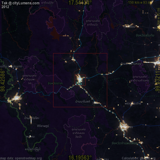
» Earth at Night: Flat Maps 2012, 2016