Chiang Rai night lights from space
Night Light of Chiang Rai from space (Thailand) Src. Average luminocity for 10x10km area is 78.6212% and for 50x50km: 9.9324%.
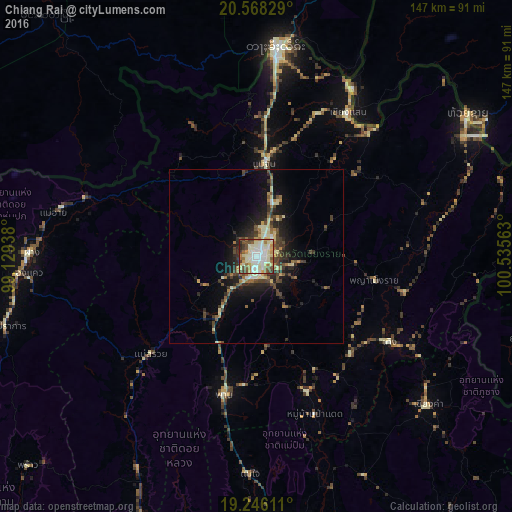
Analysis of Chiang Rai night lights 2016
Square area 10x10 km:
 15.37%
90-99
34.2%80-89
10.61%70-79
7.79%60-69
6.49%50-59
10.17%40-49
7.14%30-39
6.06%20-29
2.16%10-19
0%0-9
0%Square area 50x50 km:
0.7%90-99
2.07%80-89
1.39%70-79
0.75%60-69
1.3%50-59
1.22%40-49
2.39%30-39
1.73%20-29
2.91%10-19
6.1%0-9
79.45%Clear (daylight) street map image can be seen on geolist.org.
Map coordinates:
20° 34' 5.8" North, 99° 7' 45.8" East
19° 54' 30.9" North, 99° 49' 57" East
19° 14' 46" North, 100° 32' 8.3" East
Some cities around Chiang Rai sort by population:
• Tachilek, MM
60.1 km =37.3 mi,  4°
4°
• Mae Chan
26.6 km =16.5 mi, 4°
• Mae Sai
58.5 km =36.4 mi, 4°
• Ban Houakhoua, LA
75 km =46.6 mi,  59°
59°
• Pa Daet
47.9 km =29.8 mi,  159°
159°
• Ban Houayxay, LA
73.1 km =45.4 mi, 56°
• Fang
64.6 km =40.1 mi,  270°
270°
• Mae Chai
62.6 km =38.9 mi,  181°
181°
1153669 (p: 78,756)
Sources (retrieved 2019-11-25):
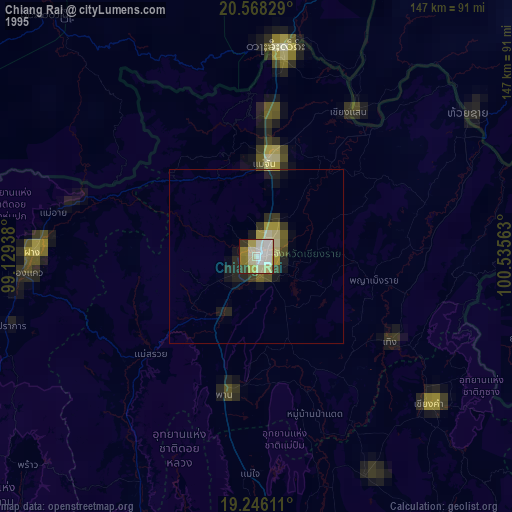
» NASA, Earths city lights 1995
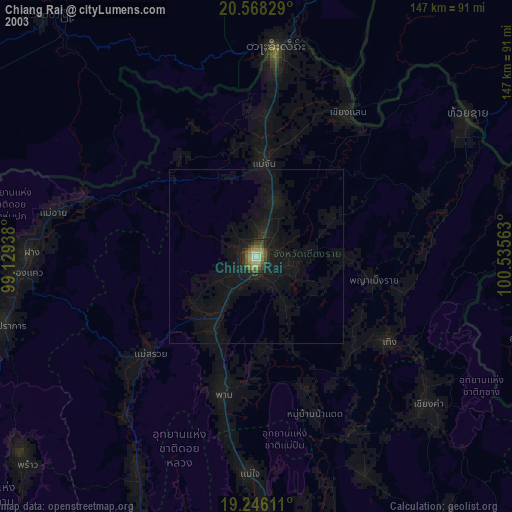
» NASA city lights 2003
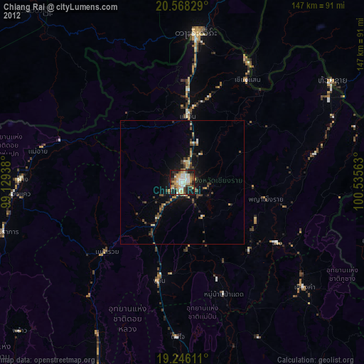
» Earth at Night: Flat Maps 2012, 2016