Mae Chai night lights from space
Night Light of Mae Chai (Phayao) from space (Thailand) Src. Average luminocity for 10x10km area is 6.4897% and for 50x50km: 3.9859%.
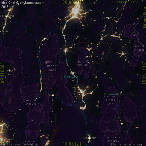
Analysis of Mae Chai night lights 2016
Square area 10x10 km:
 0%
0%90-99
0.83%80-89
0.83%70-79
0.83%60-69
0.62%50-59
1.45%40-49
2.07%30-39
2.48%20-29
1.24%10-19
1.03%0-9
88.64%Square area 50x50 km:
0.12%90-99
0.63%80-89
0.37%70-79
0.57%60-69
0.4%50-59
0.45%40-49
1.11%30-39
0.86%20-29
0.94%10-19
3.16%0-9
91.39%Clear (daylight) street map image can be seen on geolist.org.
Map coordinates:
20° 0' 28.9" North, 99° 6' 39.2" East
19° 20' 45.5" North, 99° 48' 50.4" East
18° 40' 52.4" North, 100° 31' 1.7" East
Some cities around Mae Chai sort by population:
• Chiang Rai
62.6 km =38.9 mi,  1°
1°
• San Kamphaeng
99 km =61.5 mi,  227°
227°
• Dok Kham Tai
27.8 km =17.3 mi,  137°
137°
• Phayao
18.4 km =11.4 mi,  158°
158°
• Pong
53.1 km =33 mi,  114°
114°
• Chiang Kham
54.6 km =33.9 mi,  68°
68°
• Pa Daet
25.7 km =16 mi,  46°
46°
• Fang
89.3 km =55.5 mi,  315°
315°
1149700 (p: 5,094)
Sources (retrieved 2019-11-25):
» Earth at Night: Flat Maps 2012, 2016