Buri Ram night lights from space
Night Light of Buri Ram (Buriram) from space (Thailand) Src. Average luminocity for 10x10km area is 56.657% and for 50x50km: 5.5681%.
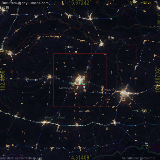
Analysis of Buri Ram night lights 2016
Square area 10x10 km:
 6.82%
6.82%90-99
6.61%80-89
13.02%70-79
9.5%60-69
14.26%50-59
8.68%40-49
5.79%30-39
12.6%20-29
10.74%10-19
11.98%0-9
0%Square area 50x50 km:
0.27%90-99
0.37%80-89
0.82%70-79
0.63%60-69
1.04%50-59
0.83%40-49
1.08%30-39
1.72%20-29
1.62%10-19
3.98%0-9
87.63%Clear (daylight) street map image can be seen on geolist.org.
Map coordinates:
15° 40' 20.7" North, 102° 24' 2.9" East
14° 59' 39.6" North, 103° 6' 14.1" East
14° 18' 50.7" North, 103° 48' 25.4" East
Some cities around Buri Ram sort by population:
• Surin
43.7 km =27.2 mi,  106°
106°
• Nang Rong
52 km =32.3 mi,  220°
220°
• Prakhon Chai
43.2 km =26.8 mi,  177°
177°
• Ban Huai Thalaeng
48.8 km =30.3 mi,  268°
268°
• Nong Ki
69.8 km =43.4 mi,  240°
240°
• Phimai
70.2 km =43.6 mi,  291°
291°
• Satuek
39.2 km =24.4 mi,  30°
30°
• Phayakkhaphum Phisai
58.8 km =36.5 mi,  9°
9°
1611453 (p: 28,283)
Sources (retrieved 2019-11-25):
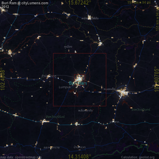
» Earth at Night: Flat Maps 2012, 2016