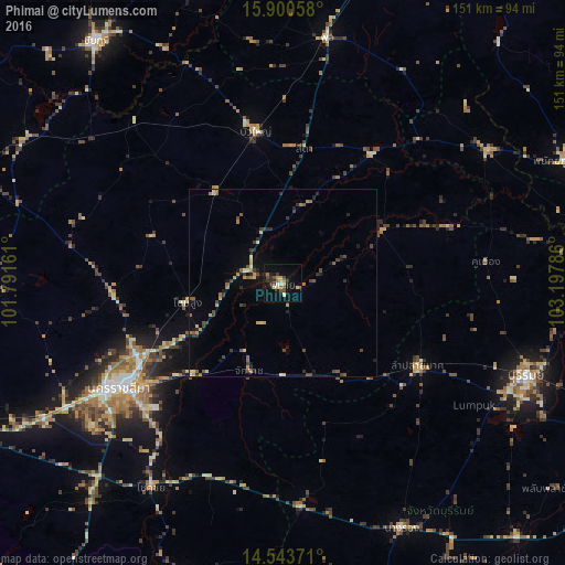
Phimai night lights from space
Night Light of Phimai (Nakhon Ratchasima) from space (Thailand) Src. Average luminocity for 10x10km area is 19.1901% and for 50x50km: 3.9354%.
Analysis of Phimai night lights 2016
Square area 10x10 km:
 0.83%
0.83%90-99
1.65%80-89
3.1%70-79
2.27%60-69
3.51%50-59
1.24%40-49
4.34%30-39
5.37%20-29
3.72%10-19
10.54%0-9
63.43%Square area 50x50 km:
0.03%90-99
0.24%80-89
0.65%70-79
0.51%60-69
0.7%50-59
0.55%40-49
0.89%30-39
0.83%20-29
0.98%10-19
1.39%0-9
93.2%Clear (daylight) street map image can be seen on geolist.org.
Map coordinates:
15° 54' 2.1" North, 101° 47' 29.8" East
15° 13' 23.7" North, 102° 29' 41" East
14° 32' 37.4" North, 103° 11' 52.3" East
Some cities around Phimai sort by population:
• Nakhon Ratchasima
50.7 km =31.5 mi,  236°
236°
• Chok Chai
65.4 km =40.6 mi,  212°
212°
• Non Sung
26 km =16.2 mi,  259°
259°
• Bua Yai
41 km =25.5 mi,  349°
349°
• Ban Huai Thalaeng
31.5 km =19.6 mi,  148°
148°
• Nong Ki
59.8 km =37.2 mi,  175°
175°
• Non Thai
45.5 km =28.3 mi,  266°
266°
• Kham Sakae Saeng
36.6 km =22.7 mi,  289°
289°
1607716 (p: 13,084)
Sources (retrieved 2019-11-25):
» Earth at Night: Flat Maps 2012, 2016