Bafilo night lights from space
Night Light of Bafilo (Kara) from space (Togo) Src. Average luminocity for 10x10km area is 1.8853% and for 50x50km: 0.7494%.
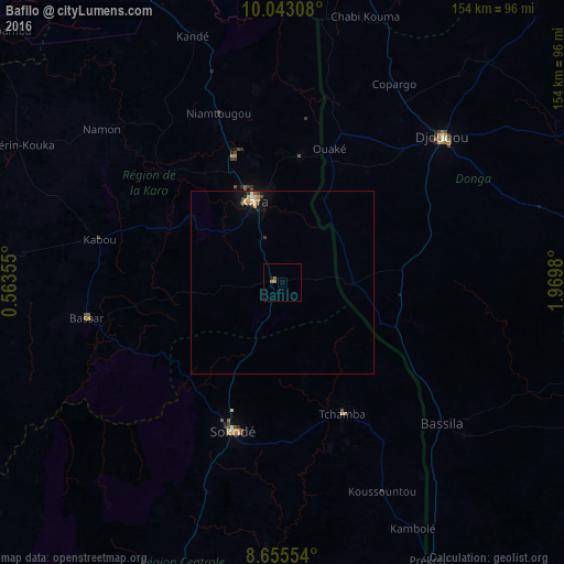
Analysis of Bafilo night lights 2016
Square area 10x10 km:
100  0%
0%
90-99 0%
80-89 0%
70-79 0.87%
60-69 0.87%
50-59 0.87%
40-49 0%
30-39 0%
20-29 0%
10-19 0.87%
0-9 96.54%
0%90-99
0%80-89
0%70-79
0.87%60-69
0.87%50-59
0.87%40-49
0%30-39
0%20-29
0%10-19
0.87%0-9
96.54%Square area 50x50 km:
100 0.03%
90-99 0.06%
80-89 0.2%
70-79 0.15%
60-69 0.14%
50-59 0.07%
40-49 0.06%
30-39 0.14%
20-29 0.07%
10-19 0.26%
0-9 98.83%
0.03%90-99
0.06%80-89
0.2%70-79
0.15%60-69
0.14%50-59
0.07%40-49
0.06%30-39
0.14%20-29
0.07%10-19
0.26%0-9
98.83%Clear (daylight) street map image can be seen on geolist.org.
Map coordinates:
10° 2' 35.1" North, 0° 33' 48.8" East
9° 21' 0" North, 1° 16' 0" East
8° 39' 19.9" North, 1° 58' 11.3" East
Some cities around Bafilo sort by population:
• Djougou, BJ
59.2 km =36.8 mi,  47°
47°
• Sokodé
43.3 km =26.9 mi,  199°
199°
• Kara
24 km =14.9 mi,  338°
338°
• Bassar
54.3 km =33.7 mi,  258°
258°
• Tchamba
38.9 km =24.2 mi,  154°
154°
• Bassila, BJ
58 km =36 mi,  130°
130°
• Niamtougou
49.7 km =30.9 mi, 339°
• Pagouda
45.3 km =28.1 mi,  8°
8°
2367656 (p: 22,543)
Sources (retrieved 2019-11-25):
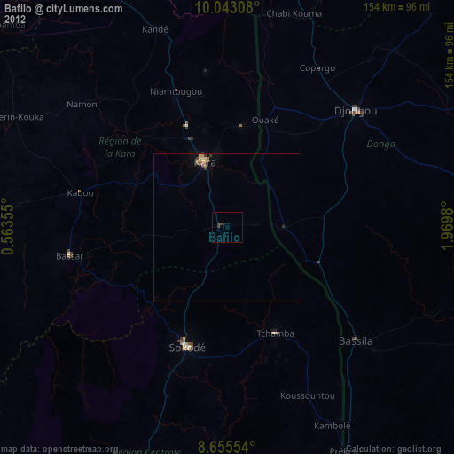
» Earth at Night: Flat Maps 2012, 2016