Tchamba night lights from space
Night Light of Tchamba (Centrale) from space (Togo) Src. Average luminocity for 10x10km area is 1.7727% and for 50x50km: 0.0863%.
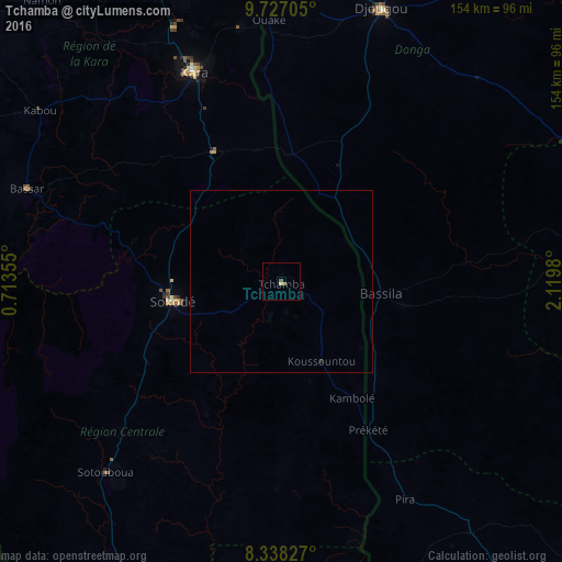
Analysis of Tchamba night lights 2016
Square area 10x10 km:
 0%
0%90-99
0%80-89
0.87%70-79
0%60-69
0.87%50-59
0%40-49
0.87%30-39
0%20-29
0%10-19
0%0-9
97.4%Square area 50x50 km:
0%90-99
0%80-89
0.03%70-79
0%60-69
0.03%50-59
0%40-49
0.03%30-39
0%20-29
0.03%10-19
0%0-9
99.86%Clear (daylight) street map image can be seen on geolist.org.
Map coordinates:
9° 43' 37.4" North, 0° 42' 48.8" East
9° 1' 60" North, 1° 25' 0" East
8° 20' 17.8" North, 2° 7' 11.3" East
Some cities around Tchamba sort by population:
• Djougou, BJ
79.9 km =49.6 mi,  20°
20°
• Sokodé
31.6 km =19.6 mi,  259°
259°
• Kara
62.9 km =39.1 mi,  336°
336°
• Bassar
73.7 km =45.8 mi,  289°
289°
• Bassila, BJ
27.5 km =17.1 mi,  95°
95°
• Bafilo
38.9 km =24.2 mi,  334°
334°
• Sotouboua
70.6 km =43.9 mi,  222°
222°
• Pagouda
80.6 km =50.1 mi,  353°
353°
2363908 (p: 25,668)
Sources (retrieved 2019-11-25):
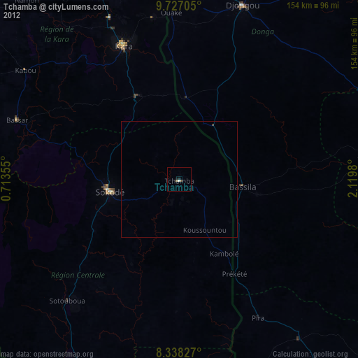
» Earth at Night: Flat Maps 2012, 2016