Kara night lights from space
Night Light of Kara from space (Togo) Src. Average luminocity for 10x10km area is 19.5606% and for 50x50km: 1.1302%.
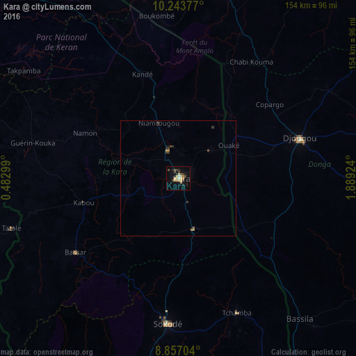
Analysis of Kara night lights 2016
Square area 10x10 km:
 0.87%
0.87%90-99
1.52%80-89
4.98%70-79
3.03%60-69
2.6%50-59
1.73%40-49
4.11%30-39
3.46%20-29
3.46%10-19
7.14%0-9
67.1%Square area 50x50 km:
0.03%90-99
0.06%80-89
0.2%70-79
0.22%60-69
0.14%50-59
0.11%40-49
0.29%30-39
0.31%20-29
0.2%10-19
0.38%0-9
98.06%Clear (daylight) street map image can be seen on geolist.org.
Map coordinates:
10° 14' 37.6" North, 0° 28' 58.8" East
9° 33' 4" North, 1° 11' 10" East
8° 51' 25.3" North, 1° 53' 21.3" East
Some cities around Kara sort by population:
• Djougou, BJ
55.4 km =34.4 mi,  71°
71°
• Sokodé
63.4 km =39.4 mi,  185°
185°
• Bassar
55.5 km =34.5 mi,  232°
232°
• Tchamba
62.9 km =39.1 mi,  156°
156°
• Niamtougou
25.7 km =16 mi,  339°
339°
• Bafilo
24 km =14.9 mi, 158°
• Kandé
47.8 km =29.7 mi, 341°
• Pagouda
27.3 km =17 mi,  34°
34°
2366152 (p: 104,207)
Sources (retrieved 2019-11-25):
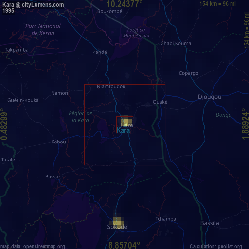
» NASA, Earths city lights 1995
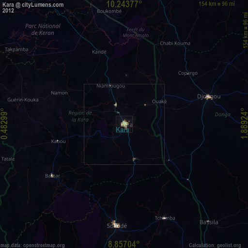
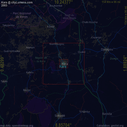
» NASA city lights 2003
» Earth at Night: Flat Maps 2012, 2016