Atakpamé night lights from space
Night Light of Atakpamé (Plateaux) from space (Togo) Src. Average luminocity for 10x10km area is 6.5346% and for 50x50km: 0.3238%.
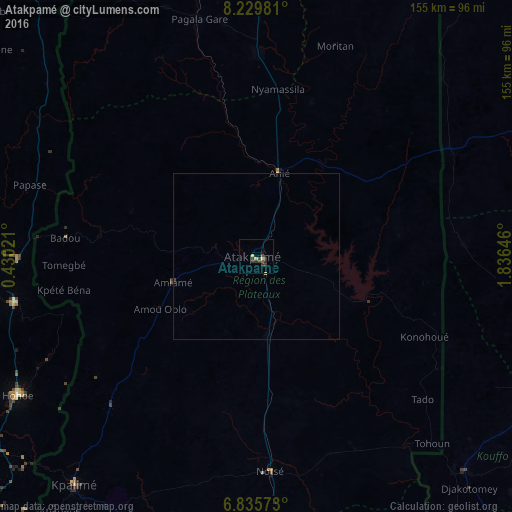
Analysis of Atakpamé night lights 2016
Square area 10x10 km:
 0%
0%90-99
0%80-89
1.73%70-79
0.87%60-69
0%50-59
0.87%40-49
1.3%30-39
6.06%20-29
1.3%10-19
0.87%0-9
87.01%Square area 50x50 km:
0%90-99
0%80-89
0.1%70-79
0.05%60-69
0%50-59
0.03%40-49
0.05%30-39
0.27%20-29
0.05%10-19
0.07%0-9
99.38%Clear (daylight) street map image can be seen on geolist.org.
Map coordinates:
8° 13' 47.3" North, 0° 25' 48.8" East
7° 31' 60" North, 1° 7' 60" East
6° 50' 8.6" North, 1° 50' 11.3" East
Some cities around Atakpamé sort by population:
• Abomey, BJ
102.3 km =63.6 mi,  112°
112°
• Kpalimé
89.4 km =55.6 mi,  218°
218°
• Hohoe, GH
84.2 km =52.3 mi,  239°
239°
• Savalou, BJ
102.7 km =63.8 mi,  64°
64°
• Badou
59 km =36.7 mi,  275°
275°
• Notsé
65 km =40.4 mi,  176°
176°
• Aplahoué, BJ
90.2 km =56 mi,  137°
137°
• Amlamé
26.8 km =16.7 mi,  253°
253°
2367886 (p: 80,683)
Sources (retrieved 2019-11-25):
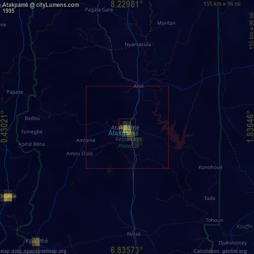
» NASA, Earths city lights 1995
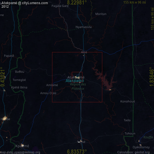
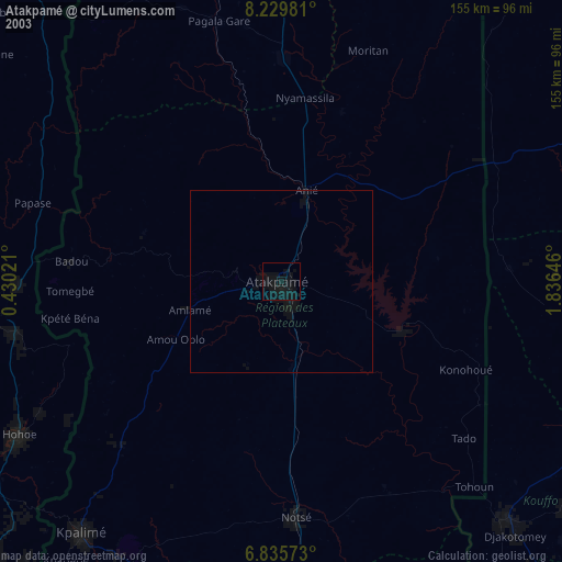
» NASA city lights 2003
» Earth at Night: Flat Maps 2012, 2016