Laï night lights from space
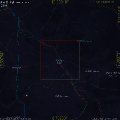
Night Light of Laï (Tandjilé) from space (Chad) Src. Average luminocity for 10x10km area is 0% and for 50x50km: 0%.
Analysis of Laï night lights 2016
Square area 10x10 km:
100  0%
0%
90-99 0%
80-89 0%
70-79 0%
60-69 0%
50-59 0%
40-49 0%
30-39 0%
20-29 0%
10-19 0%
0-9 100%
0%90-99
0%80-89
0%70-79
0%60-69
0%50-59
0%40-49
0%30-39
0%20-29
0%10-19
0%0-9
100%Square area 50x50 km:
100 0%
90-99 0%
80-89 0%
70-79 0%
60-69 0%
50-59 0%
40-49 0%
30-39 0%
20-29 0%
10-19 0%
0-9 100%
0%90-99
0%80-89
0%70-79
0%60-69
0%50-59
0%40-49
0%30-39
0%20-29
0%10-19
0%0-9
100%Clear (daylight) street map image can be seen on geolist.org.
Map coordinates:
10° 5' 24.6" North, 15° 35' 51.1" East
9° 23' 49.9" North, 16° 18' 2.4" East
8° 42' 10.2" North, 17° 0' 13.6" East
Some cities around Laï sort by population:
• Moundou
95.4 km =59.3 mi,  194°
194°
• Kelo
55.1 km =34.2 mi,  259°
259°
• Doba
102.7 km =63.8 mi,  144°
144°
• Benoy
46.1 km =28.6 mi,  177°
177°
• Béré
18.1 km =11.2 mi,  241°
241°
• Bébédja
85.3 km =53 mi,  160°
160°
• Goundi
116.9 km =72.6 mi,  91°
91°
• Gounou Gaya
90.1 km =56 mi,  286°
286°
2429296 (p: 19,382)
Sources (retrieved 2019-11-25):
» Earth at Night: Flat Maps 2012, 2016