Kukawa night lights from space
Night Light of Kukawa (Borno) from space (Nigeria) Src. Average luminocity for 10x10km area is 0% and for 50x50km: 0%.
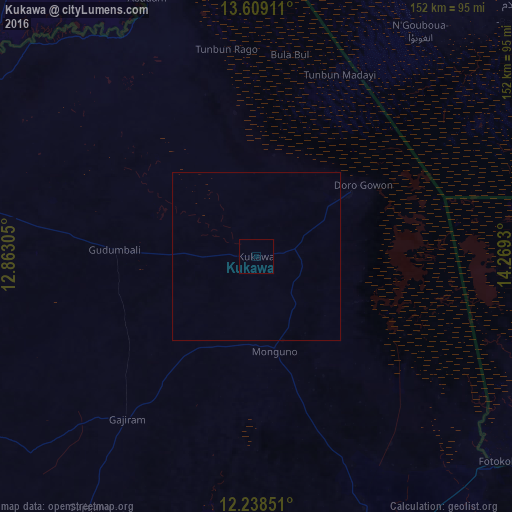
Analysis of Kukawa night lights 2016
Square area 10x10 km:
 0%
0%90-99
0%80-89
0%70-79
0%60-69
0%50-59
0%40-49
0%30-39
0%20-29
0%10-19
0%0-9
100%Square area 50x50 km:
0%90-99
0%80-89
0%70-79
0%60-69
0%50-59
0%40-49
0%30-39
0%20-29
0%10-19
0%0-9
100%Clear (daylight) street map image can be seen on geolist.org.
Map coordinates:
13° 36' 32.8" North, 12° 51' 47" East
12° 55' 29.1" North, 13° 33' 58.2" East
12° 14' 18.6" North, 14° 16' 9.5" East
Some cities around Kukawa sort by population:
• Gamboru
92.7 km =57.6 mi,  131°
131°
• Dikwa
105.9 km =65.8 mi,  158°
158°
• Diffa, NE
112.1 km =69.7 mi,  292°
292°
• Monguno
28.7 km =17.8 mi,  169°
169°
• Marte
68.4 km =42.5 mi, 155°
• Ngala
93.6 km =58.2 mi, 133°
• Damasak
116.3 km =72.3 mi,  279°
279°
• Makary, CM
103.9 km =64.6 mi,  111°
111°
2333563 (p: 16,077)
Sources (retrieved 2019-11-25):
» Earth at Night: Flat Maps 2012, 2016