Gamboru night lights from space
Night Light of Gamboru (Borno) from space (Nigeria) Src. Average luminocity for 10x10km area is 0% and for 50x50km: 0%.


Analysis of Gamboru night lights 2016
Square area 10x10 km:
 0%
0%90-99
0%80-89
0%70-79
0%60-69
0%50-59
0%40-49
0%30-39
0%20-29
0%10-19
0%0-9
100%Square area 50x50 km:
0%90-99
0%80-89
0%70-79
0%60-69
0%50-59
0%40-49
0%30-39
0%20-29
0%10-19
0%0-9
100%Clear (daylight) street map image can be seen on geolist.org.
Map coordinates:
13° 3' 31.9" North, 13° 30' 13.6" East
12° 22' 22.8" North, 14° 12' 24.8" East
11° 41' 7.1" North, 14° 54' 36.1" East
Some cities around Gamboru sort by population:
• N'Djamena, TD
95.7 km =59.5 mi,  108°
108°
• Kousséri, CM
95.4 km =59.3 mi, 110°
• Dikwa
48.9 km =30.4 mi,  219°
219°
• Monguno
72.5 km =45 mi,  297°
297°
• Kukawa
92.7 km =57.6 mi,  311°
311°
• Marte
41 km =25.5 mi,  268°
268°
• Ngala
4.2 km =2.6 mi,  211°
211°
• Makary, CM
35.1 km =21.8 mi,  50°
50°
2342192 (p: 84,672)
Sources (retrieved 2019-11-25):
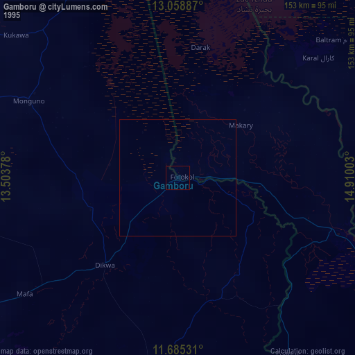
» NASA, Earths city lights 1995
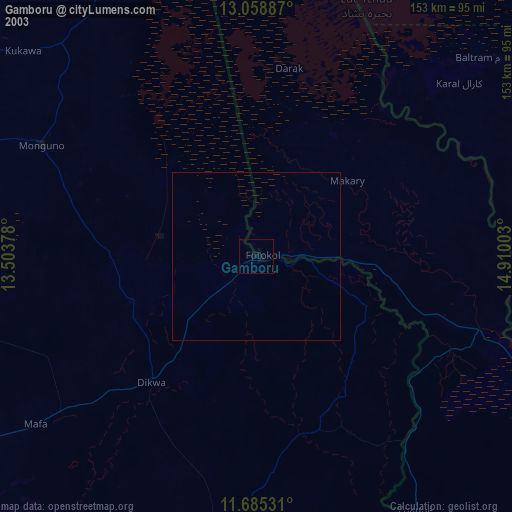
» NASA city lights 2003
» Earth at Night: Flat Maps 2012, 2016