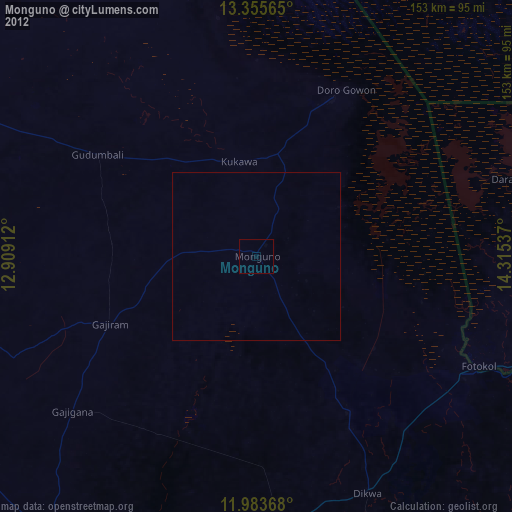
Monguno night lights from space
Night Light of Monguno (Borno) from space (Nigeria) Src. Average luminocity for 10x10km area is 0% and for 50x50km: 0%.

Analysis of Monguno night lights 2016
Square area 10x10 km:
100  0%
0%
90-99 0%
80-89 0%
70-79 0%
60-69 0%
50-59 0%
40-49 0%
30-39 0%
20-29 0%
10-19 0%
0-9 100%
0%90-99
0%80-89
0%70-79
0%60-69
0%50-59
0%40-49
0%30-39
0%20-29
0%10-19
0%0-9
100%Square area 50x50 km:
100 0%
90-99 0%
80-89 0%
70-79 0%
60-69 0%
50-59 0%
40-49 0%
30-39 0%
20-29 0%
10-19 0%
0-9 100%
0%90-99
0%80-89
0%70-79
0%60-69
0%50-59
0%40-49
0%30-39
0%20-29
0%10-19
0%0-9
100%Clear (daylight) street map image can be seen on geolist.org.
Map coordinates:
13° 21' 20.3" North, 12° 54' 32.8" East
12° 40' 14.1" North, 13° 36' 44.1" East
11° 59' 1.2" North, 14° 18' 55.3" East
Some cities around Monguno sort by population:
• Maiduguri
104.1 km =64.7 mi,  208°
208°
• Gamboru
72.5 km =45 mi,  117°
117°
• Dikwa
78 km =48.5 mi,  154°
154°
• Magumeri
105.4 km =65.5 mi,  234°
234°
• Kukawa
28.7 km =17.8 mi,  349°
349°
• Marte
41.3 km =25.7 mi, 145°
• Ngala
72.4 km =45 mi, 120°
• Makary, CM
92 km =57.2 mi,  96°
96°
2329946 (p: 20,297)
Sources (retrieved 2019-11-25):
» Earth at Night: Flat Maps 2012, 2016