Ngala night lights from space
Night Light of Ngala (Borno) from space (Nigeria) Src. Average luminocity for 10x10km area is 0% and for 50x50km: 0%.
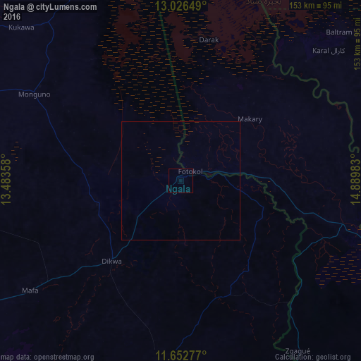
Analysis of Ngala night lights 2016
Square area 10x10 km:
 0%
0%90-99
0%80-89
0%70-79
0%60-69
0%50-59
0%40-49
0%30-39
0%20-29
0%10-19
0%0-9
100%Square area 50x50 km:
0%90-99
0%80-89
0%70-79
0%60-69
0%50-59
0%40-49
0%30-39
0%20-29
0%10-19
0%0-9
100%Clear (daylight) street map image can be seen on geolist.org.
Map coordinates:
13° 1' 35.4" North, 13° 29' 0.9" East
12° 20' 25.9" North, 14° 11' 12.1" East
11° 39' 10" North, 14° 53' 23.4" East
Some cities around Ngala sort by population:
• N'Djamena, TD
96.8 km =60.1 mi,  105°
105°
• Kousséri, CM
96.3 km =59.8 mi, 107°
• Gamboru
4.2 km =2.6 mi,  31°
31°
• Dikwa
44.7 km =27.8 mi,  220°
220°
• Monguno
72.4 km =45 mi,  300°
300°
• Kukawa
93.6 km =58.2 mi,  313°
313°
• Marte
38.9 km =24.2 mi,  274°
274°
• Makary, CM
39.1 km =24.3 mi,  48°
48°
2329087 (p: 14,031)
Sources (retrieved 2019-11-25):
» Earth at Night: Flat Maps 2012, 2016