Bitkine night lights from space
Night Light of Bitkine (Guéra) from space (Chad) Src. Average luminocity for 10x10km area is 0.0124% and for 50x50km: 0.0189%.
Analysis of Bitkine night lights 2016
Square area 10x10 km:
 0%
0%90-99
0%80-89
0%70-79
0%60-69
0%50-59
0%40-49
0%30-39
0%20-29
0%10-19
0%0-9
100%Square area 50x50 km:
0%90-99
0%80-89
0%70-79
0%60-69
0%50-59
0%40-49
0%30-39
0.03%20-29
0%10-19
0.03%0-9
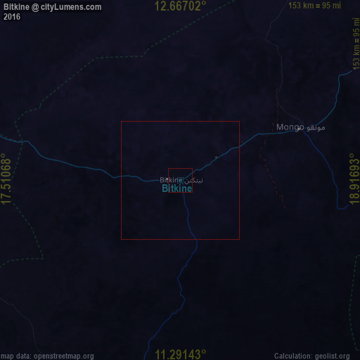
99.93%Clear (daylight) street map image can be seen on geolist.org.
Map coordinates:
12° 40' 1.3" North, 17° 30' 38.4" East
11° 58' 48.4" North, 18° 12' 49.7" East
11° 17' 29.1" North, 18° 55' 0.9" East
Some cities around Bitkine sort by population:
• Mongo
56.8 km =35.3 mi,  66°
66°
• Ati
138 km =85.7 mi,  5°
5°
• Oum Hadjer
217.4 km =135.1 mi,  47°
47°
• Bokoro
133.1 km =82.7 mi,  289°
289°
• Bousso
233.5 km =145.1 mi,  224°
224°
• Ngama
116 km =72.1 mi,  259°
259°
• Melfi
106.7 km =66.3 mi,  196°
196°
• Massenya
231.5 km =143.8 mi,  253°
253°
2435124 (p: 18,495)
Sources (retrieved 2019-11-25):
» Earth at Night: Flat Maps 2012, 2016