Mongo night lights from space
Night Light of Mongo (Guéra) from space (Chad) Src. Average luminocity for 10x10km area is 0.3347% and for 50x50km: 0.0136%.
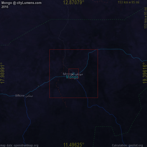
Analysis of Mongo night lights 2016
Square area 10x10 km:
 0%
0%90-99
0%80-89
0%70-79
0%60-69
0%50-59
0%40-49
0.41%30-39
0.41%20-29
0%10-19
0%0-9
99.17%Square area 50x50 km:
0%90-99
0%80-89
0%70-79
0%60-69
0%50-59
0%40-49
0.02%30-39
0.02%20-29
0%10-19
0%0-9
99.97%Clear (daylight) street map image can be seen on geolist.org.
Map coordinates:
12° 52' 14.8" North, 17° 59' 23.7" East
12° 11' 3.9" North, 18° 41' 34.9" East
11° 29' 46.5" North, 19° 23' 46.2" East
Some cities around Mongo sort by population:
• Am Timan
215.5 km =133.9 mi,  126°
126°
• Ati
121 km =75.2 mi,  341°
341°
• Oum Hadjer
164.6 km =102.3 mi,  41°
41°
• Bitkine
56.8 km =35.3 mi,  246°
246°
• Bokoro
178.9 km =111.2 mi,  276°
276°
• Bousso
287.1 km =178.4 mi,  228°
228°
• Ngama
171.9 km =106.8 mi, 254°
• Melfi
149.8 km =93.1 mi,  213°
213°
2427637 (p: 27,763)
Sources (retrieved 2019-11-25):
» Earth at Night: Flat Maps 2012, 2016