Nasir night lights from space
Night Light of Nasir (Latjoor) from space (South Sudan) Src. Average luminocity for 10x10km area is 0% and for 50x50km: 0%.
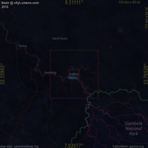
Analysis of Nasir night lights 2016
Square area 10x10 km:
 0%
0%90-99
0%80-89
0%70-79
0%60-69
0%50-59
0%40-49
0%30-39
0%20-29
0%10-19
0%0-9
100%Square area 50x50 km:
0%90-99
0%80-89
0%70-79
0%60-69
0%50-59
0%40-49
0%30-39
0%20-29
0%10-19
0%0-9
100%Clear (daylight) street map image can be seen on geolist.org.
Map coordinates:
9° 18' 40" North, 32° 21' 32.5" East
8° 36' 59.7" North, 33° 3' 43.7" East
7° 55' 14.8" North, 33° 45' 55" East
Some cities around Nasir sort by population:
• Malakal
184.6 km =114.7 mi,  303°
303°
• Gambēla, ET
172.2 km =107 mi,  103°
103°
• Dembī Dolo, ET
191.3 km =118.9 mi,  92°
92°
• Ayod
190 km =118.1 mi,  253°
253°
• Kodok
175.9 km =109.3 mi,  323°
323°
• Waat
111.3 km =69.2 mi,  244°
244°
• Maiwut
95 km =59 mi, 90°
• Akobo
92 km =57.2 mi,  183°
183°
369355 (p: 0)
Sources (retrieved 2019-11-25):
» Earth at Night: Flat Maps 2012, 2016