Malakal night lights from space
Night Light of Malakal (Central Upper Nile) from space (South Sudan) Src. Average luminocity for 10x10km area is 2.5964% and for 50x50km: 0.16%.
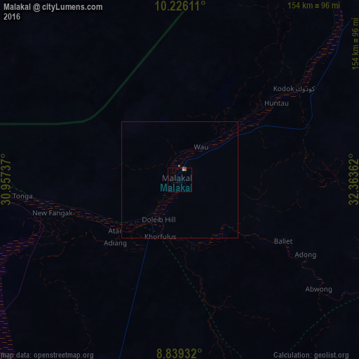

Analysis of Malakal night lights 2016
Square area 10x10 km:
 0.45%
0.45%90-99
0.91%80-89
0%70-79
0.23%60-69
1.13%50-59
0%40-49
0%30-39
0%20-29
0.45%10-19
0%0-9
96.83%Square area 50x50 km:
0.03%90-99
0.04%80-89
0%70-79
0.01%60-69
0.06%50-59
0.03%40-49
0%30-39
0%20-29
0.03%10-19
0.01%0-9
99.79%Clear (daylight) street map image can be seen on geolist.org.
Map coordinates:
10° 13' 34" North, 30° 57' 26.5" East
9° 32' 0.3" North, 31° 39' 37.8" East
8° 50' 21.6" North, 32° 21' 49" East
Some cities around Malakal sort by population:
• Talodi, SD
186 km =115.6 mi,  311°
311°
• Leer
215.8 km =134.1 mi,  230°
230°
• Bentiu
206.6 km =128.4 mi,  261°
261°
• Pariang
188.9 km =117.4 mi,  282°
282°
• Nasir
184.6 km =114.7 mi,  123°
123°
• Waat
160 km =99.4 mi,  160°
160°
• Ayod
159.4 km =99 mi,  189°
189°
• Kodok
63.1 km =39.2 mi,  51°
51°
370737 (p: 160,765)
Sources (retrieved 2019-11-25):
» NASA, Earths city lights 1995
» NASA city lights 2003
» Earth at Night: Flat Maps 2012, 2016