Kodok night lights from space
Night Light of Kodok (Fashoda) from space (South Sudan) Src. Average luminocity for 10x10km area is 0% and for 50x50km: 0%.
Analysis of Kodok night lights 2016
Square area 10x10 km:
 0%
0%90-99
0%80-89
0%70-79
0%60-69
0%50-59
0%40-49
0%30-39
0%20-29
0%10-19
0%0-9
100%Square area 50x50 km:
0%90-99
0%80-89
0%70-79
0%60-69
0%50-59
0%40-49
0%30-39
0%20-29
0%10-19
0%0-9
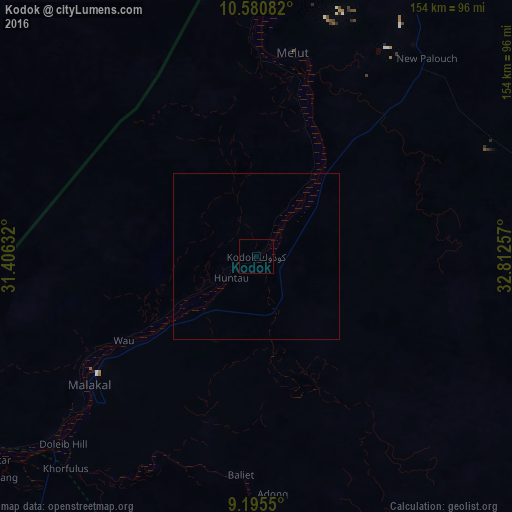
100%Clear (daylight) street map image can be seen on geolist.org.
Map coordinates:
10° 34' 51" North, 31° 24' 22.8" East
9° 53' 20" North, 32° 6' 34" East
9° 11' 43.8" North, 32° 48' 45.3" East
Some cities around Kodok sort by population:
• Malakal
63.1 km =39.2 mi,  231°
231°
• Abu Jibeha, SD
199.1 km =123.7 mi,  331°
331°
• Talodi, SD
206.5 km =128.3 mi,  293°
293°
• Pariang
233.1 km =144.8 mi,  270°
270°
• Renk
219.7 km =136.5 mi,  20°
20°
• Ayod
211 km =131.1 mi,  201°
201°
• Waat
190.2 km =118.2 mi,  178°
178°
• Nasir
175.9 km =109.3 mi,  143°
143°
372299 (p: 0)
Sources (retrieved 2019-11-25):
» Earth at Night: Flat Maps 2012, 2016