Maiwut night lights from space
Night Light of Maiwut from space (South Sudan) Src. Average luminocity for 10x10km area is 0% and for 50x50km: 0%.
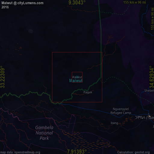
Analysis of Maiwut night lights 2016
Square area 10x10 km:
 0%
0%90-99
0%80-89
0%70-79
0%60-69
0%50-59
0%40-49
0%30-39
0%20-29
0%10-19
0%0-9
100%Square area 50x50 km:
0%90-99
0%80-89
0%70-79
0%60-69
0%50-59
0%40-49
0%30-39
0%20-29
0%10-19
0%0-9
100%Clear (daylight) street map image can be seen on geolist.org.
Map coordinates:
9° 18' 15.5" North, 33° 13' 23.1" East
8° 36' 35.1" North, 33° 55' 34.4" East
7° 54' 50.1" North, 34° 37' 45.6" East
Some cities around Maiwut sort by population:
• Gambēla, ET
82.6 km =51.3 mi,  118°
118°
• Āsosa, ET
175.2 km =108.9 mi,  22°
22°
• Metu, ET
185.5 km =115.3 mi,  100°
100°
• Dembī Dolo, ET
96.4 km =59.9 mi, 95°
• Mendī, ET
184.7 km =114.8 mi,  44°
44°
• Gorē, ET
184 km =114.3 mi,  106°
106°
• Akobo
136.3 km =84.7 mi,  228°
228°
• Nasir
95 km =59 mi,  270°
270°
370836 (p: 0)
Sources (retrieved 2019-11-25):
» Earth at Night: Flat Maps 2012, 2016