Ayod night lights from space
Night Light of Ayod (Fangak) from space (South Sudan) Src. Average luminocity for 10x10km area is 0% and for 50x50km: 0%.
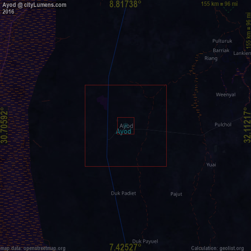
Analysis of Ayod night lights 2016
Square area 10x10 km:
100  0%
0%
90-99 0%
80-89 0%
70-79 0%
60-69 0%
50-59 0%
40-49 0%
30-39 0%
20-29 0%
10-19 0%
0-9 100%
0%90-99
0%80-89
0%70-79
0%60-69
0%50-59
0%40-49
0%30-39
0%20-29
0%10-19
0%0-9
100%Square area 50x50 km:
100 0%
90-99 0%
80-89 0%
70-79 0%
60-69 0%
50-59 0%
40-49 0%
30-39 0%
20-29 0%
10-19 0%
0-9 100%
0%90-99
0%80-89
0%70-79
0%60-69
0%50-59
0%40-49
0%30-39
0%20-29
0%10-19
0%0-9
100%Clear (daylight) street map image can be seen on geolist.org.
Map coordinates:
8° 49' 2.6" North, 30° 42' 21.3" East
8° 7' 18.9" North, 31° 24' 32.5" East
7° 25' 31" North, 32° 6' 43.8" East
Some cities around Ayod sort by population:
• Malakal
159.4 km =99 mi,  9°
9°
• Bor
213.3 km =132.5 mi,  175°
175°
• Leer
141 km =87.6 mi,  278°
278°
• Kodok
211 km =131.1 mi,  21°
21°
• Yirol
201.4 km =125.1 mi,  209°
209°
• Nasir
190 km =118.1 mi,  73°
73°
• Akobo
179.5 km =111.5 mi,  101°
101°
• Waat
82 km =51 mi,  85°
85°
378039 (p: 0)
Sources (retrieved 2019-11-25):
» Earth at Night: Flat Maps 2012, 2016