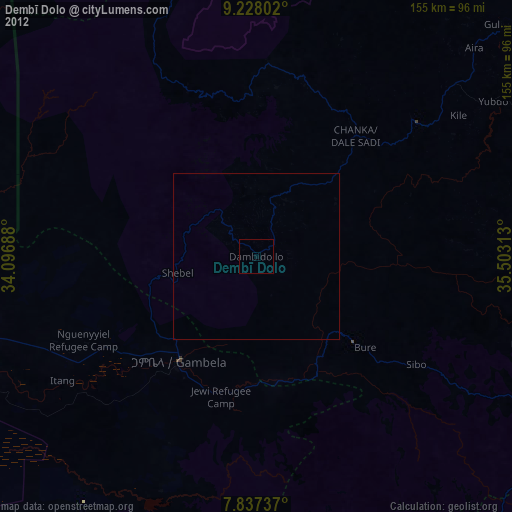
Dembī Dolo night lights from space
Night Light of Dembī Dolo (Oromiya) from space (Ethiopia) Src. Average luminocity for 10x10km area is 0.595% and for 50x50km: 0.0242%.
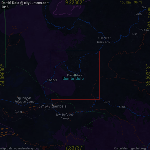
Analysis of Dembī Dolo night lights 2016
Square area 10x10 km:
 0%
0%90-99
0%80-89
0%70-79
0%60-69
0%50-59
0.83%40-49
0%30-39
0%20-29
0%10-19
0%0-9
99.17%Square area 50x50 km:
0%90-99
0%80-89
0%70-79
0%60-69
0%50-59
0.03%40-49
0%30-39
0%20-29
0%10-19
0%0-9
99.97%Clear (daylight) street map image can be seen on geolist.org.
Map coordinates:
9° 13' 40.9" North, 34° 5' 48.8" East
8° 31' 60" North, 34° 48' 0" East
7° 50' 14.5" North, 35° 30' 11.3" East
Some cities around Dembī Dolo sort by population:
• Gambēla
39.5 km =24.5 mi,  217°
217°
• Gimbi
134 km =83.3 mi,  58°
58°
• Metu
90 km =55.9 mi,  106°
106°
• Mendī
144.6 km =89.9 mi,  13°
13°
• Tippi
164.6 km =102.3 mi,  154°
154°
• Nejo
132.1 km =82.1 mi,  35°
35°
• Gorē
91.2 km =56.7 mi,  117°
117°
• Maiwut, SS
96.4 km =59.9 mi,  275°
275°
339448 (p: 26,748)
Sources (retrieved 2019-11-25):
» Earth at Night: Flat Maps 2012, 2016