Gambēla night lights from space
Night Light of Gambēla (Gambela) from space (Ethiopia) Src. Average luminocity for 10x10km area is 1.4008% and for 50x50km: 0.0572%.
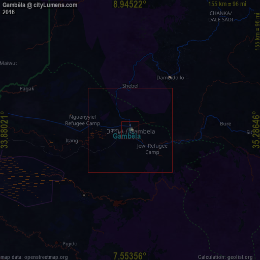
Analysis of Gambēla night lights 2016
Square area 10x10 km:
 0%
0%90-99
0%80-89
0%70-79
0%60-69
0%50-59
0%40-49
0.21%30-39
2.07%20-29
1.65%10-19
1.03%0-9
95.04%Square area 50x50 km:
0%90-99
0%80-89
0%70-79
0%60-69
0%50-59
0%40-49
0.01%30-39
0.08%20-29
0.07%10-19
0.04%0-9
99.8%Clear (daylight) street map image can be seen on geolist.org.
Map coordinates:
8° 56' 42.8" North, 33° 52' 48.8" East
8° 15' 0" North, 34° 34' 60" East
7° 33' 12.8" North, 35° 17' 11.3" East
Some cities around Gambēla sort by population:
• Gimbi
171.4 km =106.5 mi,  53°
53°
• Metu
110.2 km =68.5 mi,  87°
87°
• Dembī Dolo
39.5 km =24.5 mi,  37°
37°
• Tippi
150.8 km =93.7 mi,  140°
140°
• Nejo
171.6 km =106.6 mi, 35°
• Gorē
105.1 km =65.3 mi,  96°
96°
• Nasir, SS
172.2 km =107 mi,  283°
283°
• Maiwut, SS
82.6 km =51.3 mi,  298°
298°
337405 (p: 42,366)
Sources (retrieved 2019-11-25):
» Earth at Night: Flat Maps 2012, 2016