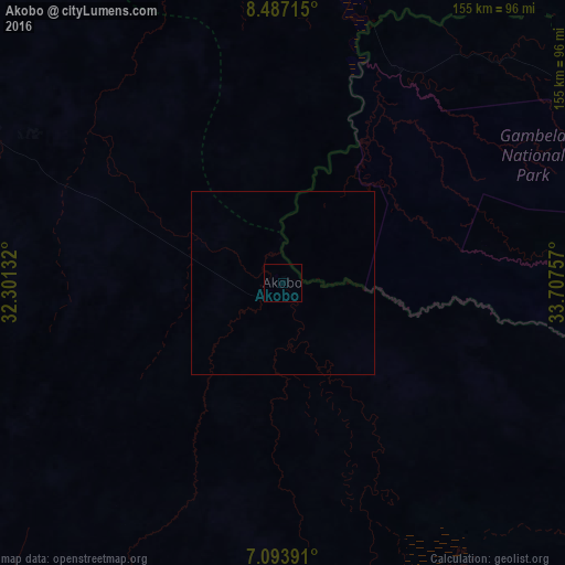
Akobo night lights from space
Night Light of Akobo from space (South Sudan) Src. Average luminocity for 10x10km area is 0% and for 50x50km: 0%.
Analysis of Akobo night lights 2016
Square area 10x10 km:
100  0%
0%
90-99 0%
80-89 0%
70-79 0%
60-69 0%
50-59 0%
40-49 0%
30-39 0%
20-29 0%
10-19 0%
0-9 100%
0%90-99
0%80-89
0%70-79
0%60-69
0%50-59
0%40-49
0%30-39
0%20-29
0%10-19
0%0-9
100%Square area 50x50 km:
100 0%
90-99 0%
80-89 0%
70-79 0%
60-69 0%
50-59 0%
40-49 0%
30-39 0%
20-29 0%
10-19 0%
0-9 100%
0%90-99
0%80-89
0%70-79
0%60-69
0%50-59
0%40-49
0%30-39
0%20-29
0%10-19
0%0-9
100%Clear (daylight) street map image can be seen on geolist.org.
Map coordinates:
8° 29' 13.7" North, 32° 18' 4.8" East
7° 47' 28" North, 33° 0' 16" East
7° 5' 38.1" North, 33° 42' 27.3" East
Some cities around Akobo sort by population:
• Gambēla, ET
181.2 km =112.6 mi,  73°
73°
• Bor
237.5 km =147.6 mi,  222°
222°
• Dembī Dolo, ET
214.2 km =133.1 mi, 67°
• Ayod
179.5 km =111.5 mi,  281°
281°
• Maiwut
136.3 km =84.7 mi,  48°
48°
• Pibor
111.2 km =69.1 mi,  172°
172°
• Waat
103.3 km =64.2 mi,  294°
294°
• Nasir
92 km =57.2 mi,  3°
3°
379792 (p: 0)
Sources (retrieved 2019-11-25):
» Earth at Night: Flat Maps 2012, 2016