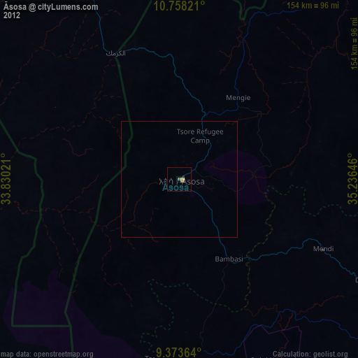
Āsosa night lights from space
Night Light of Āsosa (Bīnshangul Gumuz) from space (Ethiopia) Src. Average luminocity for 10x10km area is 6.5165% and for 50x50km: 0.2722%.
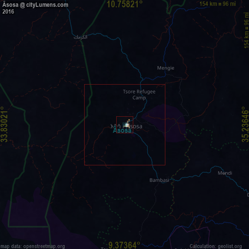
Analysis of Āsosa night lights 2016
Square area 10x10 km:
 0.41%
0.41%90-99
2.07%80-89
0%70-79
0%60-69
0.83%50-59
0.83%40-49
2.89%30-39
2.07%20-29
0.62%10-19
1.03%0-9
89.26%Square area 50x50 km:
0.02%90-99
0.08%80-89
0%70-79
0%60-69
0.03%50-59
0.03%40-49
0.12%30-39
0.08%20-29
0.03%10-19
0.04%0-9
99.56%Clear (daylight) street map image can be seen on geolist.org.
Map coordinates:
10° 45' 29.6" North, 33° 49' 48.8" East
10° 4' 0" North, 34° 31' 60" East
9° 22' 25.1" North, 35° 14' 11.3" East
Some cities around Āsosa sort by population:
• Ad-Damazin, SD
192.5 km =119.6 mi,  354°
354°
• Gimbi
174 km =108.1 mi,  124°
124°
• Ar Ruseris, SD
200.7 km =124.7 mi,  355°
355°
• Dembī Dolo
173 km =107.5 mi,  170°
170°
• Mendī
68.8 km =42.8 mi, 115°
• Nejo
123.2 km =76.6 mi, 120°
• Kurmuk, SD
60.3 km =37.5 mi,  333°
333°
• Maiwut, SS
175.2 km =108.9 mi,  202°
202°
343292 (p: 30,512)
Sources (retrieved 2019-11-25):
» Earth at Night: Flat Maps 2012, 2016