Mendī night lights from space
Night Light of Mendī (Oromiya) from space (Ethiopia) Src. Average luminocity for 10x10km area is 0.1494% and for 50x50km: 0.0058%.

Analysis of Mendī night lights 2016
Square area 10x10 km:
 0%
0%90-99
0%80-89
0%70-79
0%60-69
0%50-59
0%40-49
0%30-39
0%20-29
0%10-19
0.87%0-9
99.13%Square area 50x50 km:
0%90-99
0%80-89
0%70-79
0%60-69
0%50-59
0%40-49
0%30-39
0%20-29
0%10-19
0.03%0-9
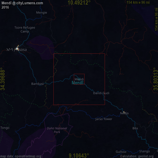
99.97%Clear (daylight) street map image can be seen on geolist.org.
Map coordinates:
10° 29' 31.6" North, 34° 23' 48.8" East
9° 48' 0" North, 35° 6' 0" East
9° 6' 23.1" North, 35° 48' 11.3" East
Some cities around Mendī sort by population:
• Gambēla
181.4 km =112.7 mi,  198°
198°
• Gimbi
106.8 km =66.4 mi,  130°
130°
• Āsosa
68.8 km =42.8 mi,  295°
295°
• Metu
175 km =108.7 mi,  162°
162°
• Dembī Dolo
144.6 km =89.9 mi,  193°
193°
• Nejo
55.1 km =34.2 mi, 127°
• Kurmuk, SD
122.2 km =75.9 mi,  313°
313°
• Maiwut, SS
184.7 km =114.8 mi,  224°
224°
331038 (p: 25,239)
Sources (retrieved 2019-11-25):
» Earth at Night: Flat Maps 2012, 2016