Metu night lights from space
Night Light of Metu (Oromiya) from space (Ethiopia) Src. Average luminocity for 10x10km area is 2.7665% and for 50x50km: 0.1129%.
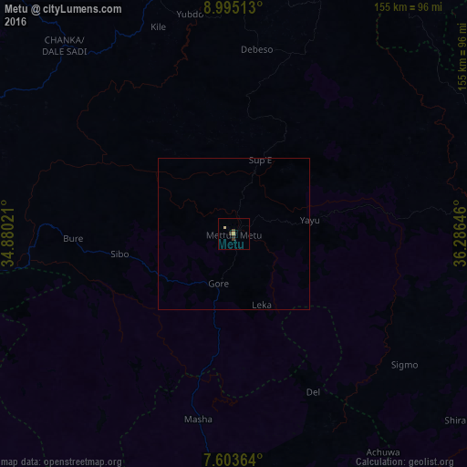
Analysis of Metu night lights 2016
Square area 10x10 km:
100  0%
0%
90-99 0%
80-89 0.83%
70-79 0.83%
60-69 0%
50-59 0%
40-49 1.65%
30-39 0.83%
20-29 0.83%
10-19 0%
0-9 95.04%
0%90-99
0%80-89
0.83%70-79
0.83%60-69
0%50-59
0%40-49
1.65%30-39
0.83%20-29
0.83%10-19
0%0-9
95.04%Square area 50x50 km:
100 0%
90-99 0%
80-89 0.03%
70-79 0.03%
60-69 0%
50-59 0%
40-49 0.07%
30-39 0.03%
20-29 0.03%
10-19 0%
0-9 99.8%
0%90-99
0%80-89
0.03%70-79
0.03%60-69
0%50-59
0%40-49
0.07%30-39
0.03%20-29
0.03%10-19
0%0-9
99.8%Clear (daylight) street map image can be seen on geolist.org.
Map coordinates:
8° 59' 42.5" North, 34° 52' 48.8" East
8° 18' 0" North, 35° 34' 60" East
7° 36' 13.1" North, 36° 17' 11.3" East
Some cities around Metu sort by population:
• Gambēla
110.2 km =68.5 mi,  267°
267°
• Gimbi
100.6 km =62.5 mi,  15°
15°
• Āgaro
127.6 km =79.3 mi,  113°
113°
• Dembī Dolo
90 km =55.9 mi,  286°
286°
• Tippi
123.2 km =76.6 mi,  186°
186°
• Bedelē
86.4 km =53.7 mi,  78°
78°
• Nejo
133.7 km =83.1 mi,  356°
356°
• Gorē
17.6 km =10.9 mi,  198°
198°
330764 (p: 29,648)
Sources (retrieved 2019-11-25):
» Earth at Night: Flat Maps 2012, 2016